What is recorded here
The Ordnance Survey Letters (1838-40) record 'In the townland of Templecarrig they show an uncultivated spot, in a field, which they call the church bank. The hollow in the bank, where the church is said to have stood, measures 30 feet from east to west, and 18 from north to south. Mr. Massys (the proprietor) father saw people buried at this place, and part of the church walls standing.' (O'Flanagan 1928, 38).
Compiled by: Claire Breen
Date of upload: 05 February 2013
The monument record does not grant public access. Check the route and ask the landowner before entering private land.
- What survives
- Recorded monument
Places near here
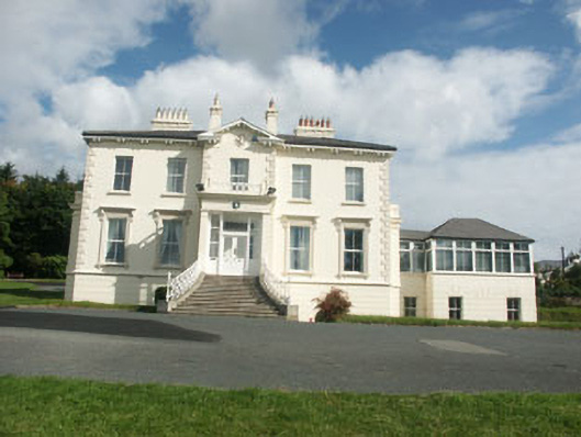 Belvedere Hallhouse · 496 yd
 Greystones WayWalking route · 703 yd
 Church (in Ruins)Church · 1178 yd
 Kindlestown WoodForest · 1266 yd
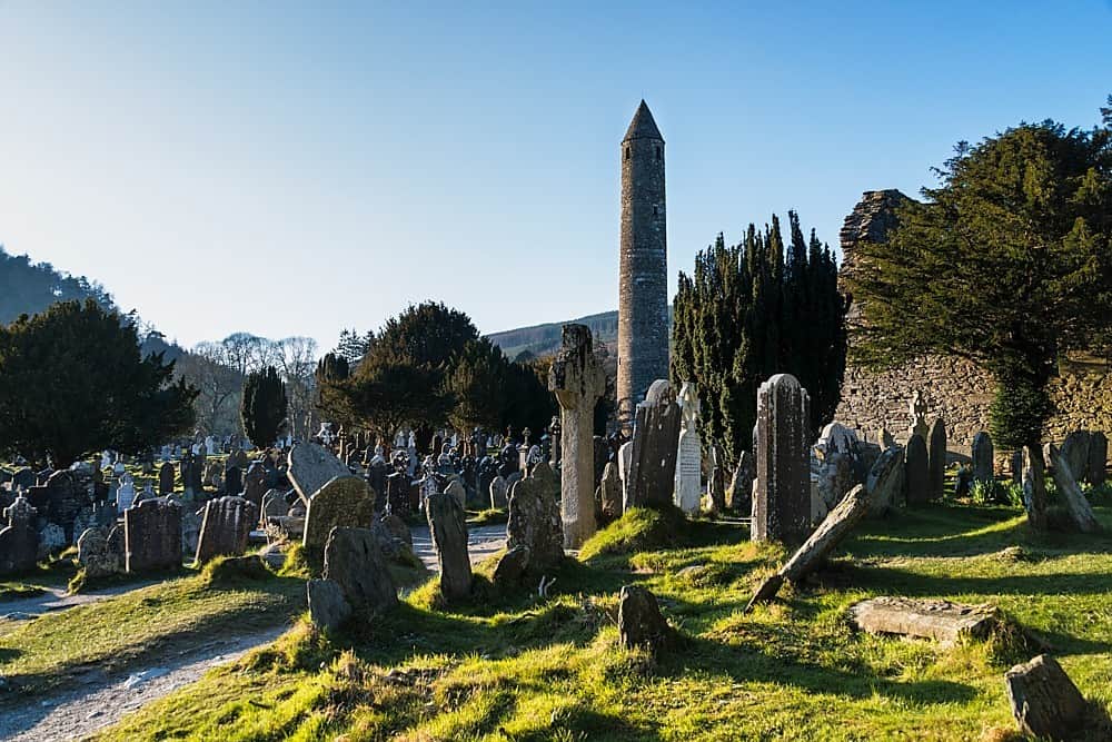 IndicatedHillfort · 1281 yd
 Rathdown Castle (in ruins)Castle, unclassified · 1364 yd
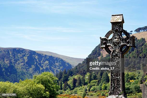 CrossCross, High cross · 1406 yd
 North BeachBeach / strand · 1537 yd
 Little Sugar LoafMountain / peak · 1.1 mi
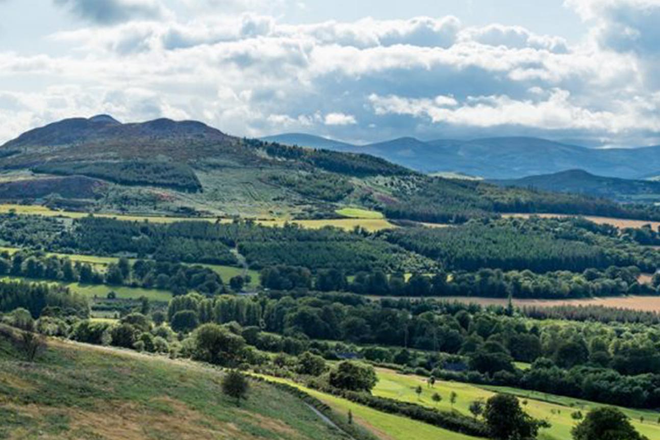 Belmont WayWalking route · 1.1 mi
 Kindlestown Castle (in ruins)Castle, hall-house · 1.2 mi
 The CoveBeach / strand · 1.4 mi