
What is recorded here
Graveyard in Pallas vanished beneath a busy field, leaving no stone or ridge for the living to touch. Davies located it south-west of the cross roads in 1942, yet the Blueball pub and modern dispensary now occupy the memory instead. The dead may still crowd that ordinary ground, waiting for someone to stop pretending the soil is empty.
There was a church (OF024-014----) at the rear of a small pub known as the Buleball. According to Davies (ITA Survey 1942) there was a graveyard to the SW of the cross roads behind the modern dispensary. No surface remains visible of any graveyard in the field behind the Dispensary at the Blueball cross roads.
The above description is derived from the published 'Archaeological Inventory of County Offaly' (Dublin: Stationery Office, 1997). In certain instances the entries have been revised and updated in the light of recent research.
Date of upload: 23 May 2011
The monument record does not grant public access. Check the route and ask the landowner before entering private land.
- What survives
- Recorded monument
Places near here
 Church (in Ruins)Church · 148 yd
 Pallas Castle (in Ruins)Bawn · 746 yd
 Enclosure in BallyfarrellEnclosure · 758 yd
 R. C. Chapel in ruinsChurch · 1000 yd
 Enclosure in CurraghmeelaghEnclosure · 1108 yd
 Mountpleasant Ho. in ruinsHouse, fortified house · 1459 yd
 Lowerton HillMountain / peak · 1.5 mi
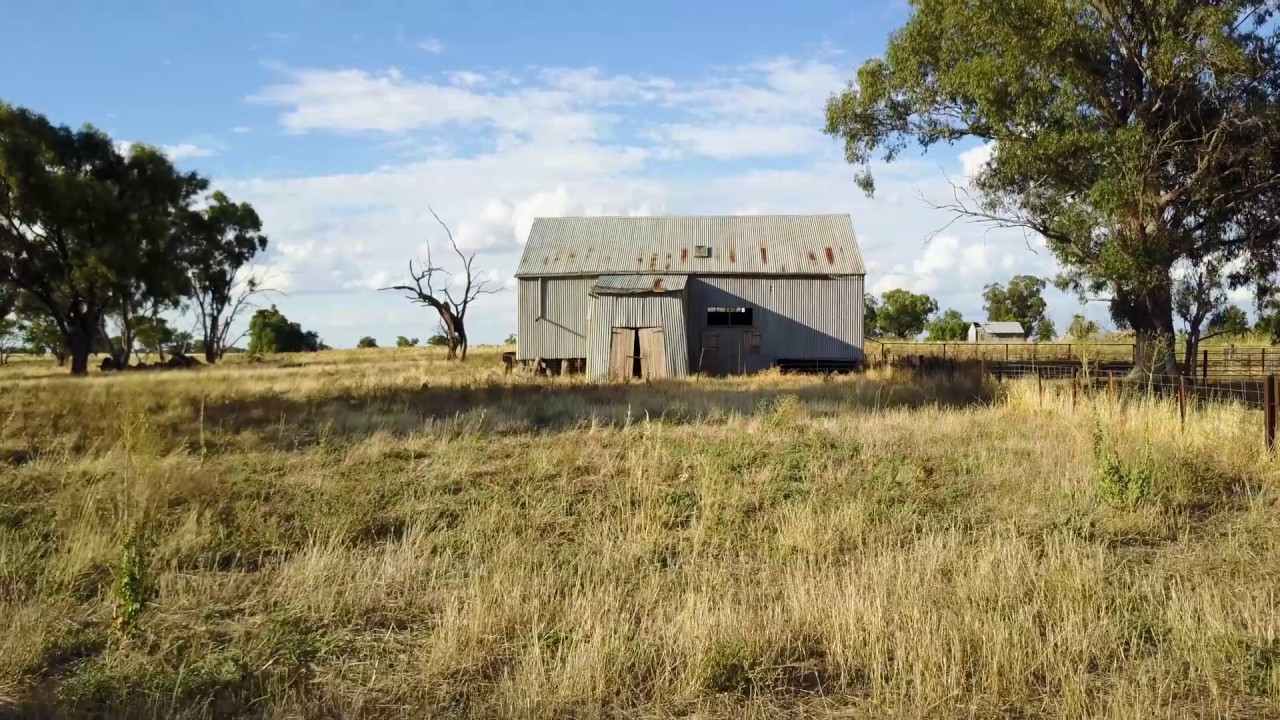 Ross WoodWood · 2.8 mi
 Ardnagross WellSpring · 2.8 mi
 Wild CherryWild Cherry · 3.0 mi
 Sugar HillMountain / peak · 3.1 mi
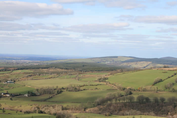 The Offaly WayWalking route · 4.0 mi
Other information
Photo: Credit not shown in the picture search · Rights wording not checked; contact us if this picture should be removed