What is recorded here
The site of the medieval church of St Mary on the N side of Main Street; marked as 'Grave Yard' on the 1838 OS 6-inch map. Not visible at ground level; the rectangular graveyard (dims. 29m E-W; 23m N-S) has been made into a public park and the 18th- and 19th-century headstones, including examples by Denis Cullen, have been arranged around the perimeter.
The above description is derived from the published 'Archaeological Inventory of County Wicklow' (Dublin: Stationery Office, 1997). In certain instances the entries have been revised and updated in the light of recent research.
Date of upload/revision: 19 September 2013
Medieval Christian burial ground, 13th to 16th century. Associated with the church of St Mary, it reflects the religious and community history of Arklow.
The monument record does not grant public access. Check the route and ask the landowner before entering private land.
- What survives
- Recorded monument
Places near here
 Church in ArklowChurch · 1 yd
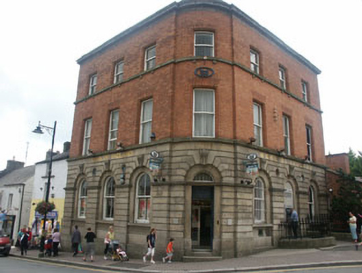 Bank of Irelandbank/financial institution · 125 yd
 Castle (in ruin)Castle, Anglo-Norman masonry castle · 177 yd
 Grave Yard (Disused)Graveyard · 188 yd
 Battle of Arklowbattle · 837 yd
 Font in Kilbride (arklow By., Kilbride Ed)Font · 1692 yd
 South BeachBeach / strand · 1700 yd
 The CoveBeach / strand · 1.3 mi
 TuliptreeTuliptree · 1.9 mi
 European YewEuropean Yew · 1.9 mi
 Arklow RockMountain / peak · 2.0 mi
 Woodenbridge World War One MemorialMemorial · 4.0 mi