
What is recorded here
Grass and gravel still mark the burial edge in Slawin, County Fermanagh. The official name is GRAVEYARD & ENCLOSURE, and the period is E.CHRIST.. Stones may have stood there before written memory, holding the dead apart from the living road. What is certain is that the place existed as a grave boundary, not an ordinary field.
The official Northern Ireland record identifies this as GRAVEYARD & ENCLOSURE. Recorded period: E.CHRIST.. The official map point was placed at the centre of the recorded archaeological site from the source map reference.
The monument record does not grant public access. Check the route and ask the landowner before entering private land.
- What survives
- Recorded monument
Places near here
 ENCLOSURE in SlawinENCLOSURE · 449 yd
 MuckinishIsland · 1023 yd
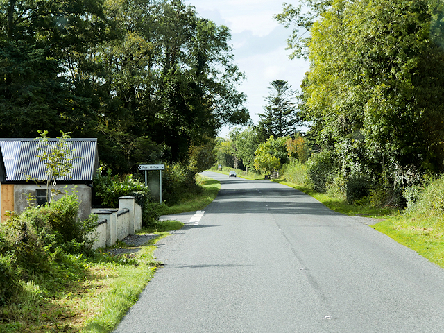 Rosscor IslandIsland · 1275 yd
 HOLY WELL: TOBER NINNY in CallagheenHOLY WELL: TOBER NINNY · 1428 yd
 PLANTATION CASTLE: MAGHERAMEENAGH CASTLE in MagherameenaghPLANTATION CASTLE: MAGHERAMEENAGH CASTLE · 1.6 mi
 RSPB Lower Lough Erne IslandsNature reserve · 1.9 mi
 C17TH CHURCH & GRAVEYARD at CASTLE CALDWELL in RossbegC17TH CHURCH & GRAVEYARD at CASTLE CALDWELL · 2.0 mi
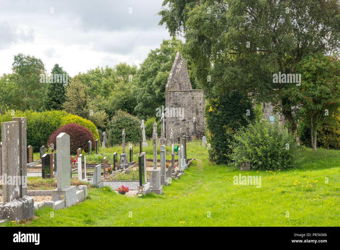 GraveyardRuins · 2.0 mi
 Castle Caldwell ForestWood · 2.0 mi
 Old Man's HeadHeritage attraction · 3.1 mi
 Belleek PotteryHeritage attraction · 3.7 mi
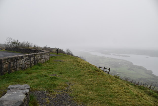 Cliffs of MaghoViewpoint · 3.9 mi
Other information
Photo: Credit not shown in the picture search · Rights wording not checked; contact us if this picture should be removed