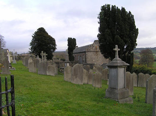
What is recorded here
Graveyard with various cut-stone markers, post-1770-present, having some cast-iron markers, random rubble limestone boundary wall to perimeter of site having rubble stone vertical coping, and pair of limestone ashlar piers having wrought iron double gates.
A picturesque graveyard occupying a prominent sloping site overlooking the centre of Thomastown, thereby forming an appealing landmark in the locality. A vast collection of markers displaying high quality craftsmanship identifies the artistic design value of the site. Together with the adjacent tower (12317046/KK-28-17-46) the graveyard remains of additional importance as a reminder of a long-standing ecclesiastical presence in the area.
This does not grant access. Most recorded buildings are privately owned; view them only from public ground unless the owner allows entry.
Places near here
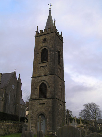 church/chapelchurch/chapel · 15 yd
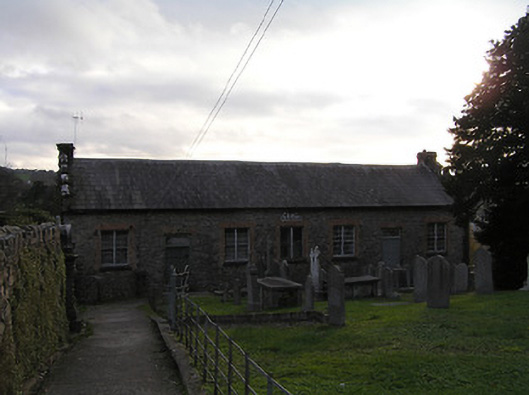 Thomastown National Schoolschool · 39 yd
 Font in CloghabrodyFont · 40 yd
 The Yellow GateMemorial · 172 yd
 Font in ThomastownFont · 276 yd
 John Patrick KennedyMemorial · 425 yd
 CastleCastle, Anglo-Norman masonry castle · 956 yd
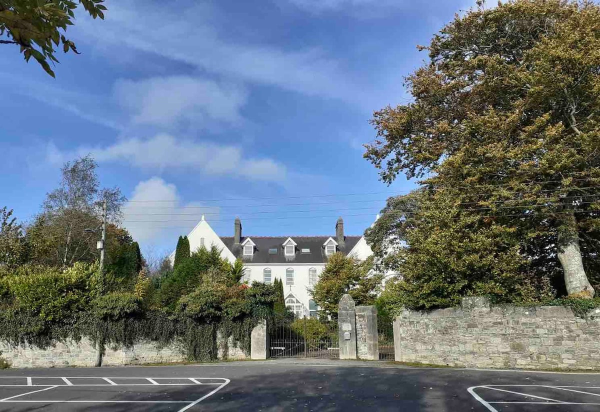 Thomastown QuarryNature reserve · 1165 yd
 Dangan WoodForest · 1.0 mi
 Bawn in LeganBawn · 1.3 mi
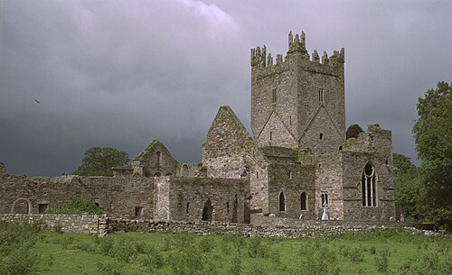 Jerpoint AbbeyHeritage attraction · 1.4 mi
 Holy WellSpring · 1.5 mi
Other information
Photo: National Inventory of Architectural Heritage · Website use allowed for educational or private purposes with source credit