What is recorded here
Graveslab in Stillorgan South: urban site north of the Stillorgan Road and Merville Road junction. In 1781 Austin Cooper noted a grave slab decorated with rude circles, believed Rathdown type. It lay within the walled graveyard beside a medieval church, though no surface trace remains. The curving wall still hints at an older ecclesiastical enclosure, keeping the buried line alive beneath the town.
Situated in an urban site to the N of the junction of Stillorgan Road and Merville Road. Record of a graveslab noted in 1781 by Austin Cooper. The grave slab was decorated with 'rude circles' which are believed to be of Rathdown type (Ó hÉailidhe 1957, 86). No visible surface trace. It is recorded to have been located within the walled graveyard (DU023-011002-) associated with the site of a medieval church (DU023-011001-). The curving plan of the present walled-in graveyard (DU023-011002-) indicates the possible existence of an early ecclesiastical enclosure (DU023-011004-).
Compiled by: Geraldine Stout and Padraig Clancy
Revised upload on: 22 May 2018
A decorated medieval Christian graveslab; significant as an early recorded example of funerary art in the Stillorgan area.
The monument record does not grant public access. Check the route and ask the landowner before entering private land.
- What survives
- Recorded monument
Places near here
 Church in Stillorgan SouthChurch · 31 yd
 Darleys WellWell · 105 yd
 St. John of GodVisitor information · 237 yd
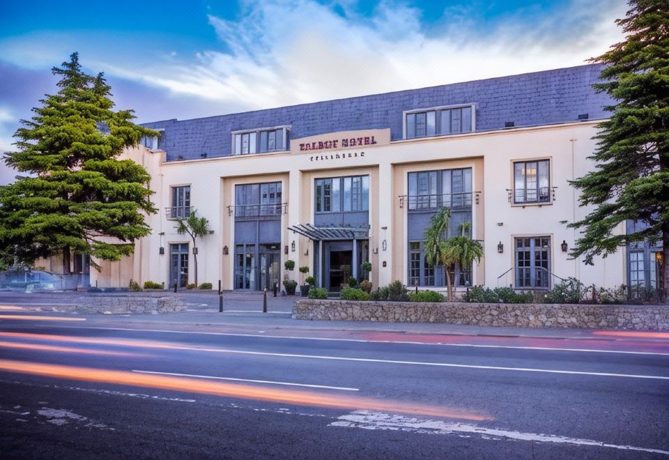 Stillorgan CastleCastle, unclassified · 265 yd
 IndicatedHouse, medieval · 476 yd
 Leopardstown Standing StoneArchaeological place · 688 yd
 CastleCastle, unclassified · 1020 yd
 School NoticesVisitor information · 1506 yd
 Monterey CypressMonterey Cypress · 1.0 mi
 Silver BirchSilver Birch · 1.0 mi
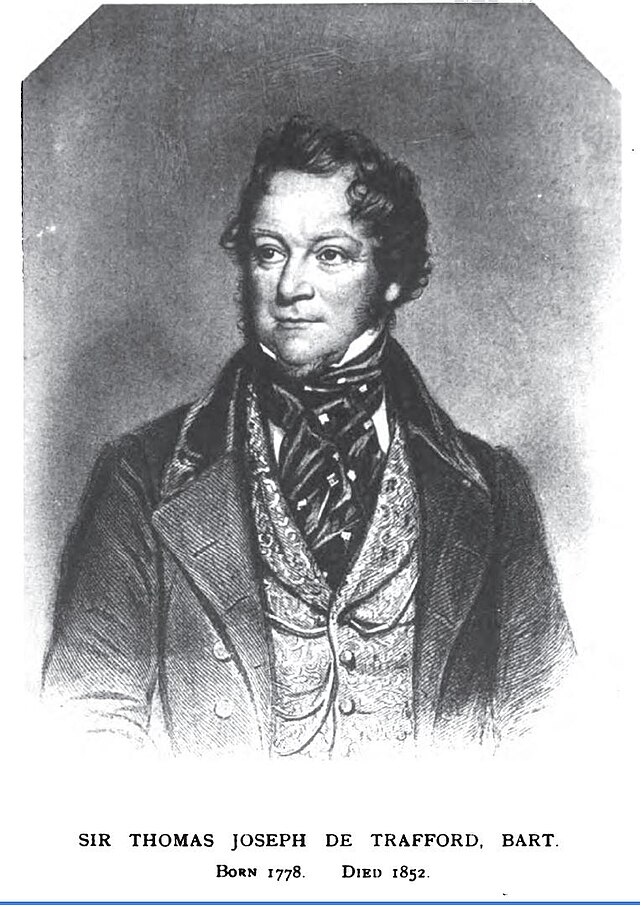 Thomas Joseph Smith (Sudocrem)Heritage attraction · 1.1 mi
 Sean LemassHeritage attraction · 1.1 mi