What is recorded here
Situated in undulating countryside. Uninscribed gravemarkers present. All inscribed headstones visible post date 1700 AD. D-shaped graveyard (int. dims. 32m N-S; 33m E-W) enclosed by a stone wall with church in centre of graveyard.
Site re-visited by Caimin O'Brien on the 08 May 2007. In pasture, on a slight rise of ground with poorly drained land to the N of the church, good views in all directions. The church (LA013-018001-) and graveyard (int. diam. 32m N-S; 31m E-W; wall T 0.4m; int. H 0.7m; ext. H 1.3m) are situated on top of a circular rise of ground that may have been enclosed by a roughly circular enclosure (LA013-018003-) of which only the NE quadrant survives incorporated into the townland boundary. The graveyard wall encloses a subtriangular-shaped area the interior of which has been levelled and all gravemarkers have been removed since the last site inspection in 1990. Fragments of these memorials can be seen dumped up against the graveyard wall in the SW corner of the graveyard. There are now no upstanding grave-markers visibloe inside the graveyard.
The above description is derived from the published 'Archaeological Inventory of County Laois' (Dublin Stationery Office, 1995) compiled by P. David Sweetman, Olive Alcock and Bernie Moran. In certain instances the entries have been revised and updated in the light of recent research.
Date of upload: 17 December 2007
The monument record does not grant public access. Check the route and ask the landowner before entering private land.
- What survives
- Recorded monument
Places near here
 Killenny Ch. (in Ruins)Church · 17 yd
 Catholic Church of the Assumptionchurch/chapel · 175 yd
 Enclosure in Greatheath (maryborough East By.)Enclosure · 486 yd
 RathshaneFairy fort / earthen ringfort · 1198 yd
 Morett Castle (in ruins)House, fortified house · 1.1 mi
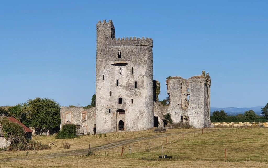 CastleCastle, unclassified · 1.7 mi
 Rock of DunamaseCastle · 2.1 mi
 Rock of Dunamase InformationVisitor information · 2.1 mi
 European YewEuropean Yew · 3.1 mi
 Giant SequoiaGiant Sequoia · 3.1 mi
 Emo CourtHeritage attraction · 3.2 mi
 Burial Ridge of MaryboroughMemorial · 4.3 mi