What is recorded here
Grave Yd. holds a T-shaped Catholic church on a gentle west slope, its excavated remains and about twenty headstones spanning 1815 to 1985 inside a broad rectangular enclosure. The derelict two-storey school house crouches at the south-east angle, while a corbel limestone stoup near the east doorway may still mark the font. It is the kind of quiet place where burial, worship and childhood learning overlapped before neglect, suggesting an entire village life compressed into one bounded ground.
Graveyard which contains a T-Plan church of 19th century date built on a gentle slope in the W quadrant. Graveyard cleaned up and the church has been excavated probably by a FAS scheme. The graveyard is a large rectangular area (dims. 100m N-S ; 35m E-W) with a projection along the middle of the W side where the church is located. It has a mortared stone wall on the E and N sides and field banks on the other sides. The old school house a two storey derelict building is on the perimeter of the graveyard at the SE angle. There are only about 20 headstones dating from c. 1815 up to 1985. The church (LA013-209001-) was a catholic church, T-Shaped in plan of 19th century date. There is a corbel limestone stoup that may be the font (LA013-029002-) described by O'Hanlon inside the E doorway.
Compiled by: Caimin O'Brien
Date of upload: 17 December 2007
The monument record does not grant public access. Check the route and ask the landowner before entering private land.
- What survives
- Recorded monument
Places near here
 Grave Yd.Chapel · 41 yd
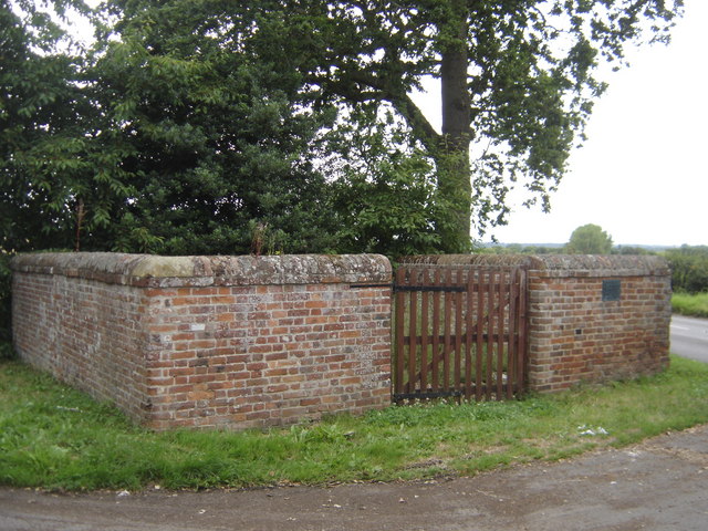 Enclosure in Greatheath (maryborough East By.)Enclosure · 923 yd
 RathshaneFairy fort / earthen ringfort · 1187 yd
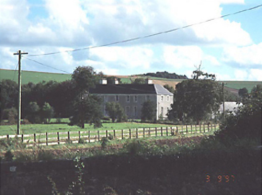 Heath Househouse · 1360 yd
 Coolbanagher Castle (ruins)Castle · 1.5 mi
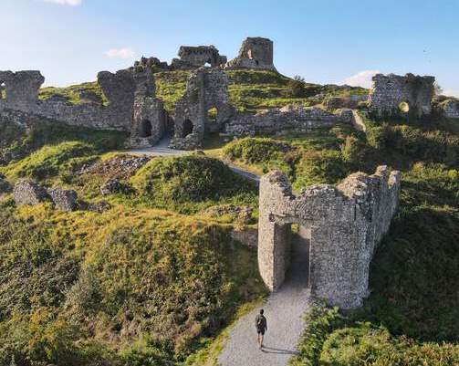 Shaen Castle (in Ruins)Castle, tower house · 1.6 mi
 Rock of DunamaseCastle · 1.9 mi
 Rock of Dunamase InformationVisitor information · 2.0 mi
 Burial Ridge of MaryboroughMemorial · 3.2 mi
 Giant SequoiaGiant Sequoia · 3.6 mi
 European YewEuropean Yew · 3.6 mi
 Emo CourtHeritage attraction · 3.6 mi