What is recorded here
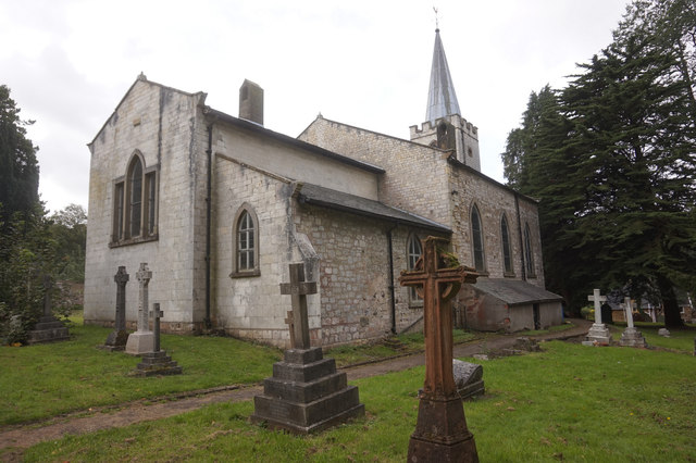
Grave Yd stands on a Cork ridge, watching the sky in every direction while its stone wall holds rows of nameless dead back to the 1790s. The graveyard still receives the living, but its ruined church and hidden underground passage suggest more than ordinary burial. People may have walked below the graves or hidden what the church would not speak. The dead remain patient on the ridge, waiting for someone to remember why the passage was cut.
On top of a ridge with commanding view in all directions. L-shaped graveyard shown on OS 6-inch map (1842) extended to S forming a rectangular graveyard enclosed by stone wall. Lines of low, uninscribed gravemarkers with some headstones (earliest dating to 1790s); still in use. Contains ruins of church (CO135-085003-) and Man-made underground passage (CO135-085002-).
The above description is derived from the published 'Archaeological Inventory of County Cork. Volume 1: West Cork' (Dublin: Stationery Office, 1992). In certain instances the entries have been revised and updated in the light of recent research.
Date of upload/revision: 14 January 2009
The monument record does not grant public access. Check the route and ask the landowner before entering private land.
- What survives
- Recorded monument
Places near here
 Kilkerranmore Church (in Ruins)Church · 10 yd
 Font in GarranagoleenFont · 159 yd
 Fulacht FianFulacht fia · 707 yd
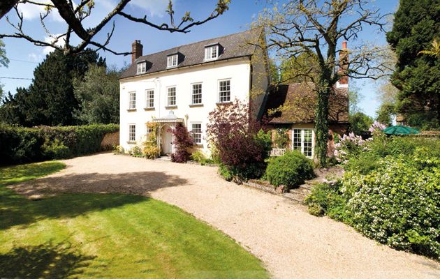 Country house in Cloheen (carbery East (e.d.) By., Kilgarriff Par.)Country house · 1590 yd
 Clonakilty Blackpudding Visitor CentreHeritage attraction · 1.6 mi
 Michael Collins House MuseumMuseum · 2.0 mi
 Cloch na gCoillteMemorial · 2.0 mi
 CastleCastle, unclassified · 2.1 mi
 Clonakilty Tourist OfficeVisitor information · 2.2 mi
 Castle (Site of)Castle, unclassified · 2.3 mi
 St. James WellSpring · 2.4 mi
 Michael Collins MemorialMemorial · 2.5 mi