What is recorded here
Situated on a slight rise in a low-lying, level landscape. The parish church of Carne (WX053-033001-) is within a subrectangular graveyard (dims c. 70m WNW-ESE; c. 30m NNE-SSW) defined by masonry walls at W and N and by earthen banks at E and S. Archaeological testing (03E1392) immediately N of the graveyard produced no archaeological material (Fallon 2006), and testing (05E0549) immediately S of it had a similar result (O'Connor 2008).
Compiled by: Michael Moore
Date of upload: 21 March, 2014
The monument record does not grant public access. Check the route and ask the landowner before entering private land.
- What survives
- Recorded monument
Places near here
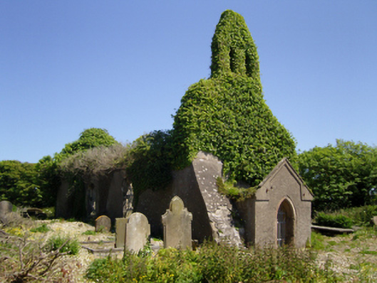 Holy Trinity Church (Carn)church/chapel · 17 yd
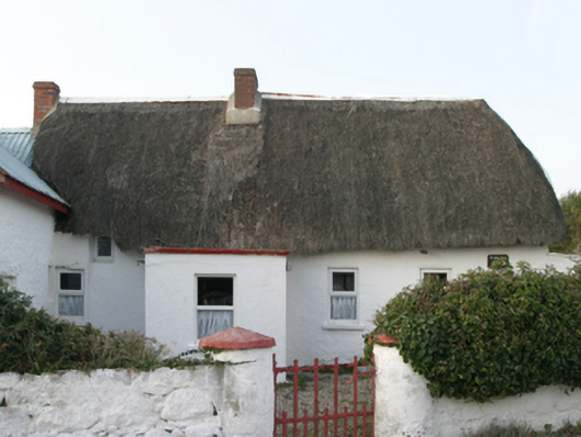 Parle's Forgehouse · 93 yd
 Churchtown Beach / The Sandy GripeBeach / strand · 539 yd
 CastleCastle, tower house · 696 yd
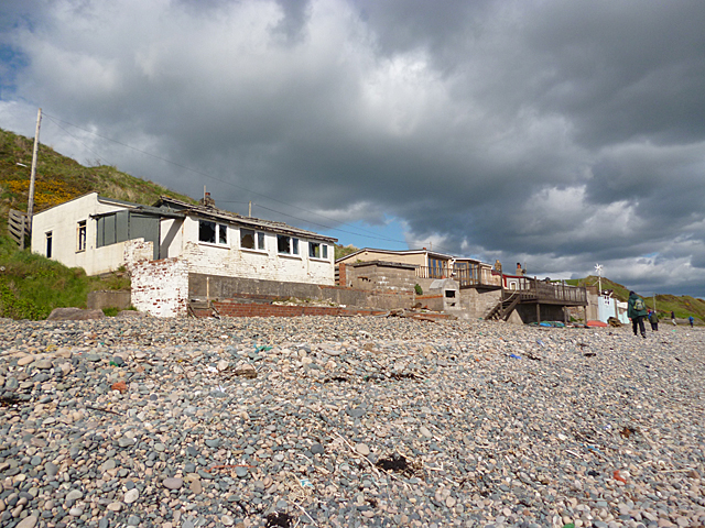 Nethertown BeachBeach / strand · 751 yd
 Lifeboat MemorialMemorial · 906 yd
 The Caravan RockNamed rock · 1092 yd
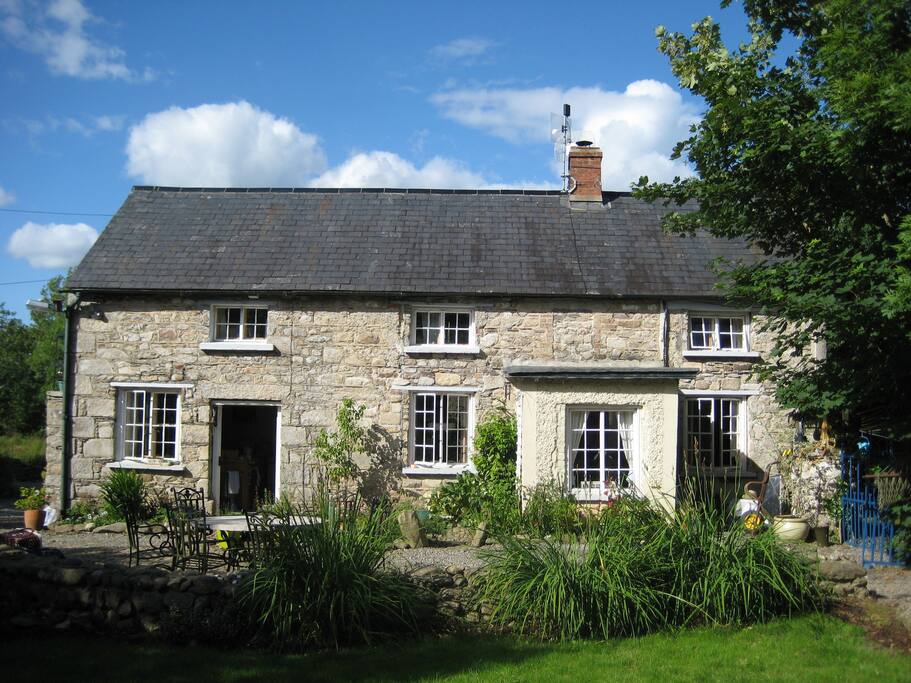 The Long StoneArchaeological place · 1112 yd
 Wind Mill StumpWindmill · 1418 yd
 Site of CastleCastle, unclassified · 1501 yd
 Shernock Hill/Knocks HillMountain / peak · 1.2 mi
 The CaamstoneNamed rock · 1.3 mi