What is recorded here
Situated on the S side of a small fold towards the bottom of the steep E-facing slope of the Slaney valley with the N-S river c. 200m to the E. The parish church of Ballyhoge (WX032-009001-) is within a D shaped graveyard (dims. c. 40m E-W; c. 35m N-S) with straight N and W sides defined by masonry walls. The site of St John's Well (WX032-009002-) is c. 30m to the N.
Compiled by: Michael Moore
Date of upload: 31 August, 2012
The monument record does not grant public access. Check the route and ask the landowner before entering private land.
- What survives
- Recorded monument
Places near here
 graveyard/cemeterygraveyard/cemetery · 3 yd
 St.Johns Well (now dry)Holy well · 36 yd
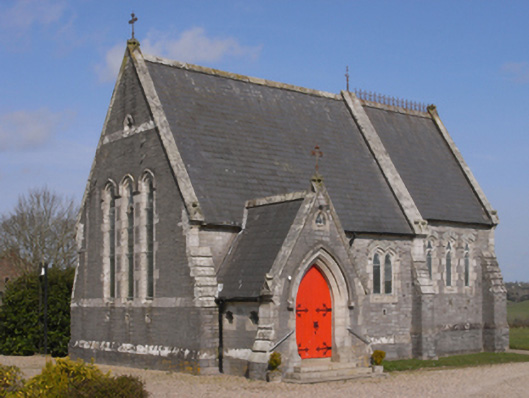 Bellevuechurch/chapel · 998 yd
 King's IslandIsland · 1726 yd
 Embanked enclosurePromontory fort, inland · 1.1 mi
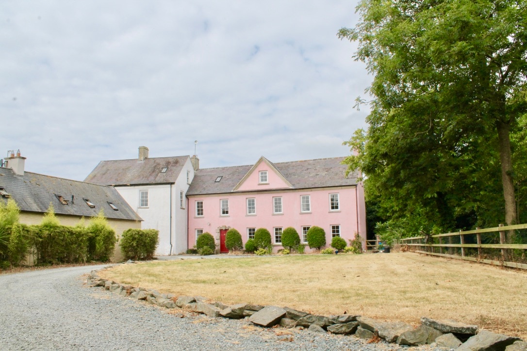 CastleCastle, tower house · 1.9 mi
 Dick Joynt MemorialMemorial · 2.4 mi
 Celebrating 125 YearsMemorial · 3.0 mi
 Wilton Ho.Castle, unclassified · 3.7 mi
 Raheennahoon HillMountain / peak · 4.1 mi
 Eden ValeWood · 4.2 mi
 Irish National Heritage ParkHeritage attraction · 5.1 mi