What is recorded here
On the E-facing slope of hillock just below the crest of a N-S ridge in pasture. A rectangular graveyard with a medieval church (TS069-045002-) at the NE angle (dims. c. 30m N-S (from S wall of church); c. 33m E-W). According to the OS Letters (c. 1840) 'There are a few graves, still in use, on the south side of the Church and not separated by a wall or hedge from the surrounding meadow' (O'Flanagan 1930, vol. 3, 80). The graveyard was subsequently enclosed, probably in the early 20th century by a concrete block wall.
Compiled by: Jean Farrelly
Date of upload: 26 August 2011
The monument record does not grant public access. Check the route and ask the landowner before entering private land.
- What survives
- Recorded monument
Places near here
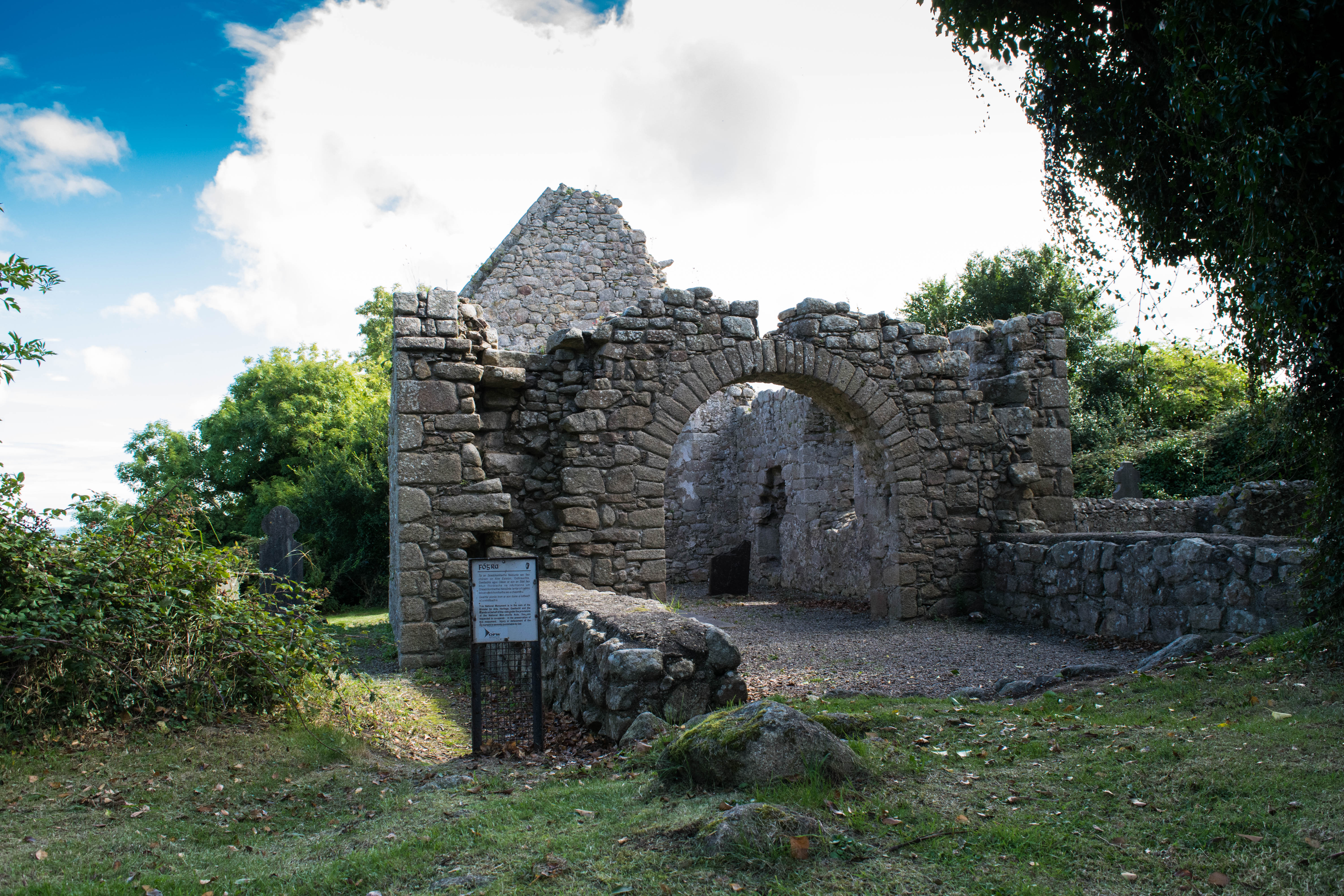 Tullamain Church (in ruins)Church · 16 yd
 Tullamain MoatCastle, motte and bailey · 292 yd
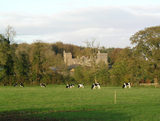 Tullamain Castlecountry house · 329 yd
 Enclosure in RathsallaghEnclosure · 1.3 mi
 St. Nicholas WellHoly well · 1.5 mi
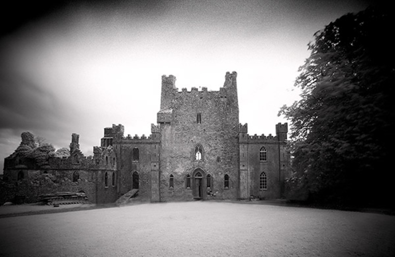 Castle Blake in ruinsCastle, tower house · 1.6 mi
 European YewEuropean Yew · 3.7 mi
 Pedunculate OakPedunculate Oak · 4.4 mi
 Cashel Folk MusuemMuseum · 5.6 mi
 The Rock Of CashelVisitor information · 5.8 mi
 Ballyknock HillMountain / peak · 5.8 mi
 Cormac's ChapelHeritage attraction · 5.8 mi