What is recorded here
The priory of the Crutched Friars of St. John at Kells (ME017-044026-) was situated outside the town on the Dublin road, at the bottom of the E-facing slope. There are no visible remains of a church in a rectangular graveyard (dims c. 45m E-W; c. 30m N-S) defined by masonry walls. There is a cross-slab, a 13th-century effigy of a woman, and a large fragment of a graveslab in the graveyard. Archaeological monitoring (02E1244) of the construction of a new wall at the S and W of the graveyard demonstrated that the wall was built on bedrock (D c. 0.6m) (Meenan 2004). Repairs to the graveyard wall were archaeologically monitored (E005304) by N. Roycroft during 2021 and some sixteenth century architectural fragments and a possible sixteenth century graveslab were identified on the surface while the probably site of a church was also recognised (excavations.ie 2021:550). A full survey of the graveyard inscriptions has been undertaken (Mc Cabe 2007)
Compiled by: Michael Moore
Date of upload: 2 July, 2014
Amended: 10 March 2023
A medieval friary graveyard, associated with the Crutched Friars of St. John at Kells; significant as a religious and burial site linked to a known monastic foundation.
This remains an important historical record, but the official description says the monument is no longer visible or has been destroyed. The monument record does not grant public access. Check the route and ask the landowner before entering private land.
- What survives
- No visible remains or recorded as destroyed
Places near here
 Saint John's CemeteryMemorial · 26 yd
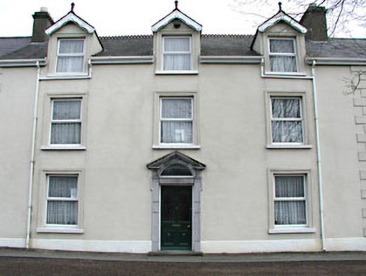 Headfort Lodgehouse · 64 yd
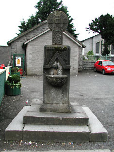 monumentmonument · 87 yd
 The Parnell GardenMemorial · 194 yd
 CastleCastle, unclassified · 316 yd
 CrossCross, High cross · 321 yd
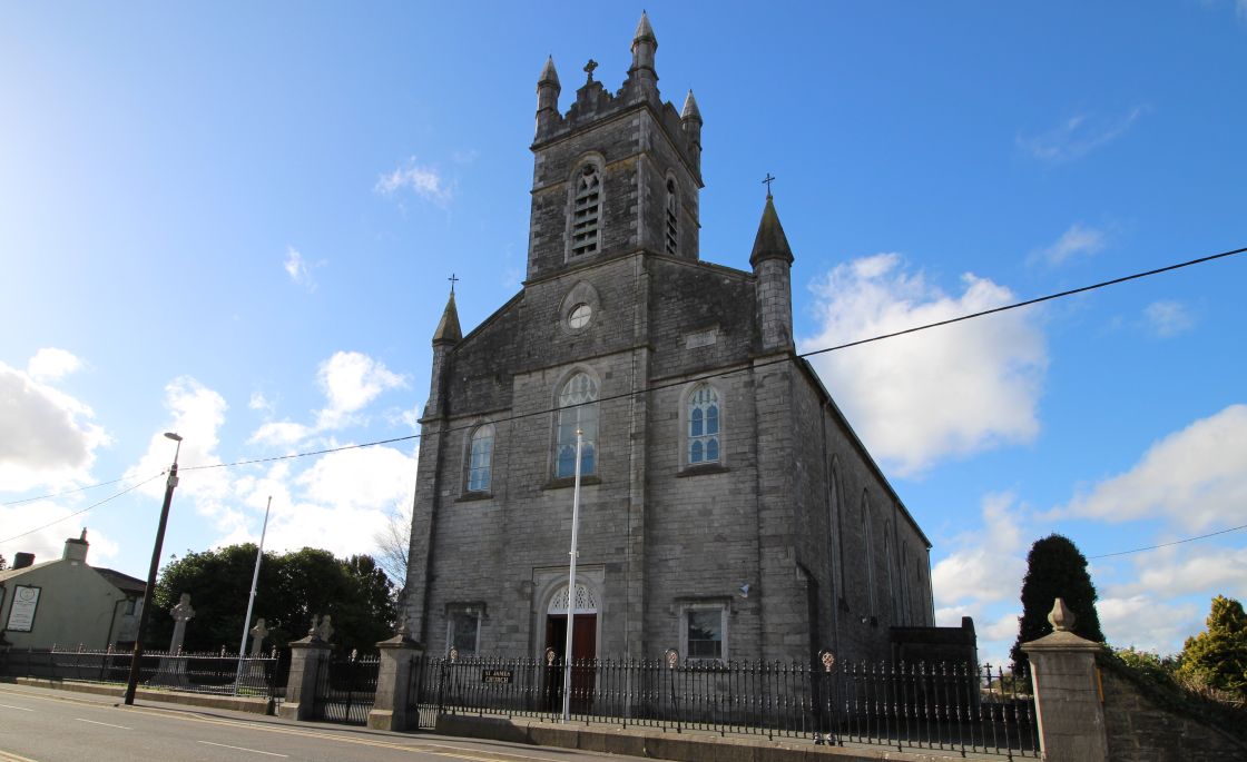 Font (present location) in Town Parks (kells Upper By.)Font (present location) · 542 yd
 Lady's Well WoodForest · 693 yd
 Stone WoodWood · 821 yd
 Castle ruinsCastle · 1.2 mi
 MountainpoleMountain / peak · 2.1 mi
 BalreaskMountain / peak · 2.3 mi