What is recorded here
In a field under pasture, on raised ground overlooking the River Nore which flows NW-SE c. 80m to the E. On the 1st (1839) ed. OS 6-inch map the associated graveyard (dims. c. 32m NE-SW; c. 24m NW-SE) is indicated by a dashed line, suggesting it was not enclosed, adjoining the S wall of Kilferagh medieval church (KK024-001001-). By the 1899-1902 revision the graveyard had been extended northward and had acquire the physical boundary, a stone wall, which is currently in place. A roughly rectangular graveyard (dims. c. 44m NW-SE; c. 52m NE-SW) with the church orientated NE-SW in the N portion.
Compiled by: Jean Farrelly
Date of upload: 14 September 2021
The monument record does not grant public access. Check the route and ask the landowner before entering private land.
- What survives
- Recorded monument
Places near here
 Church (in Ruins)Church · 10 yd
 CastleCastle, unclassified · 290 yd
 Sheastown Housegates/railings/walls · 319 yd
 St. Fiachras WellHoly well · 319 yd
 Grave Yd.Graveyard · 380 yd
 Kilkenny AirsoftHeritage attraction · 1151 yd
 Dunbell Big RingfortWood · 1.0 mi
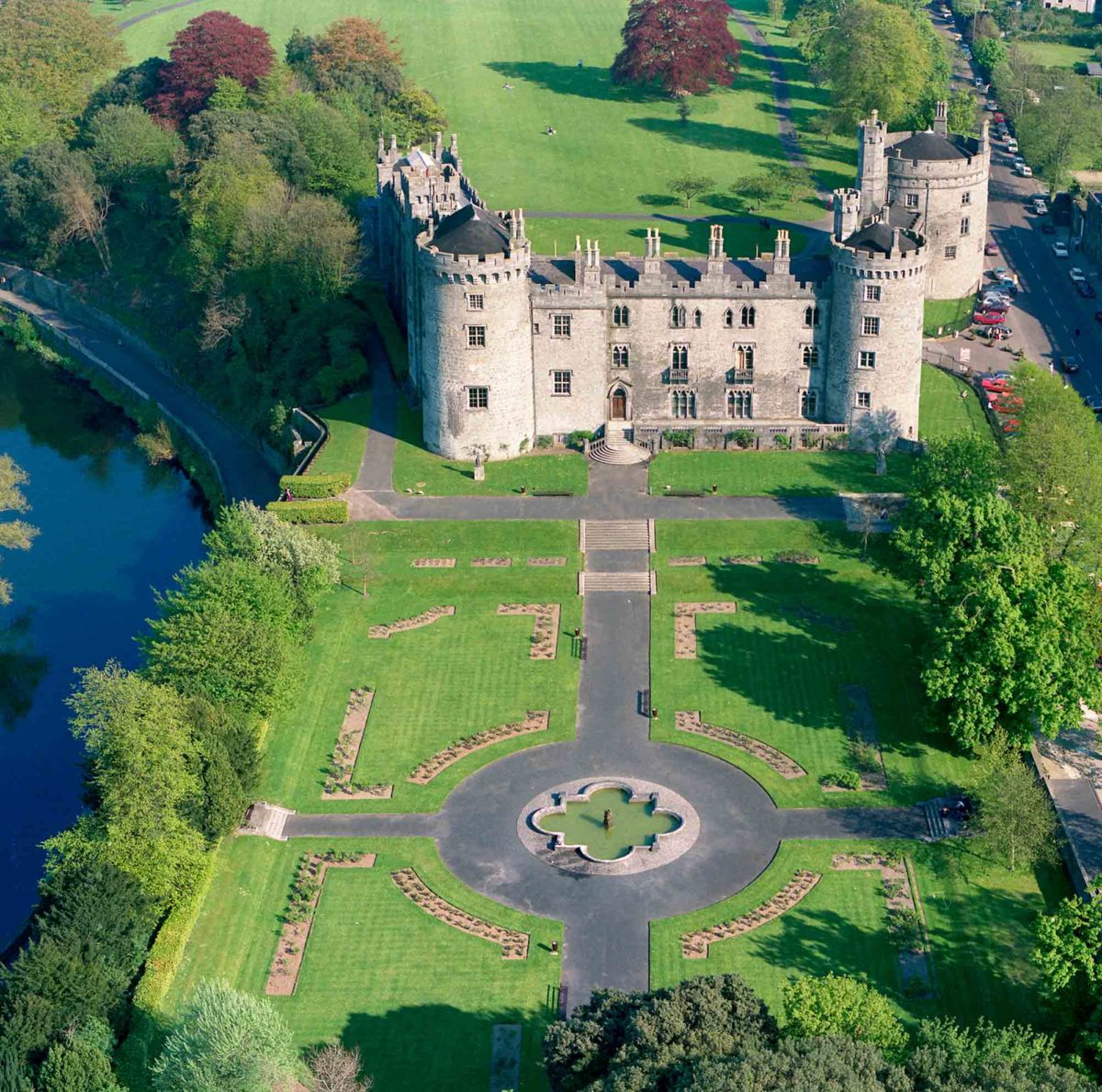 Site of Lavistown CastleCastle, unclassified · 1.3 mi
 O'Gorman's Lane LoopWalking route · 1.8 mi
 Time CapsuleMemorial · 1.9 mi
 Saint Molagga's WellSpring · 2.2 mi
 Ivan PowerMemorial · 2.4 mi