What is recorded here
A sub-triangular shaped graveyard (map dims. max N-S 56m; max. E-W 50m) with remains of church (LH017-028001-) in N. The earliest dated tombstone noted is 1682 and was erected for William and Sara Orson (MacIvor 1952, 259).
Compiled by: Claire Breen
Date of upload: 20 June 2012
The monument record does not grant public access. Check the route and ask the landowner before entering private land.
- What survives
- Recorded monument
Places near here
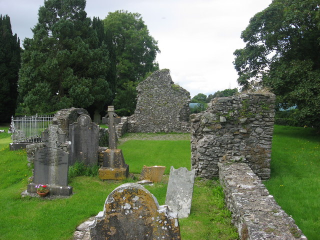 Kildemock Church (in ruins)Church · 23 yd
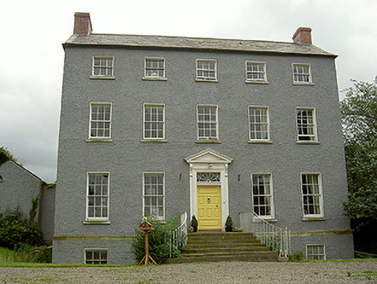 Kildemock Houserectory/glebe/vicarage/curate's house · 160 yd
 Holy well in MillockstownHoly well · 302 yd
 Garrets FortArchaeological place · 718 yd
 Dawsons MoatCastle, motte and bailey · 1.4 mi
 CastleCastle, tower house · 1.5 mi
 Graveyard in StickillinGraveyard · 1.6 mi
 European White ElmEuropean White Elm · 1.7 mi
 Sir Frederick Foster MemorialMemorial · 1.8 mi
 Valley WoodWood · 2.2 mi
 Mount OrielMountain / peak · 3.1 mi
 Black HillMountain / peak · 4.2 mi