
What is recorded here
Grave Yard holds nineteenth and twentieth-century headstones beside the ruined parish church of Loghill, set on a north-facing slope above the Glashanagard River. The low stone wall and eastern gateway mark an oval stretch of uneven farmland where burial clustered west and south of the church remains. People may have chosen the drop toward water because it made the place easier to find, or because they believed the dead should face the living world rather than turn from it.
In farmland, on N-facing slope overlooking Glashanagard River. Roughly-oval area (c. 45m N-S; c. 50m E-W) enclosed by low stone wall, with gateway on E side. Surface of graveyard uneven and sloping down steeply on N side following natural gradient. Headstones date to 19th and 20th centuries, and are concentrated to W and S of ruin of parish church of Loghill (LI009-005001-) which is located NE-of-centre.
Compiled by: Denis Power
Date of upload: 26 August 2011
The monument record does not grant public access. Check the route and ask the landowner before entering private land.
- What survives
- Recorded monument
Places near here
 bridgebridge · 711 yd
 Enclosure in Loghill (shanid By.)Enclosure · 837 yd
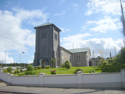 Catholic Church of the Assumptionchurch/chapel · 859 yd
 Loghill HoCastle, unclassified · 1107 yd
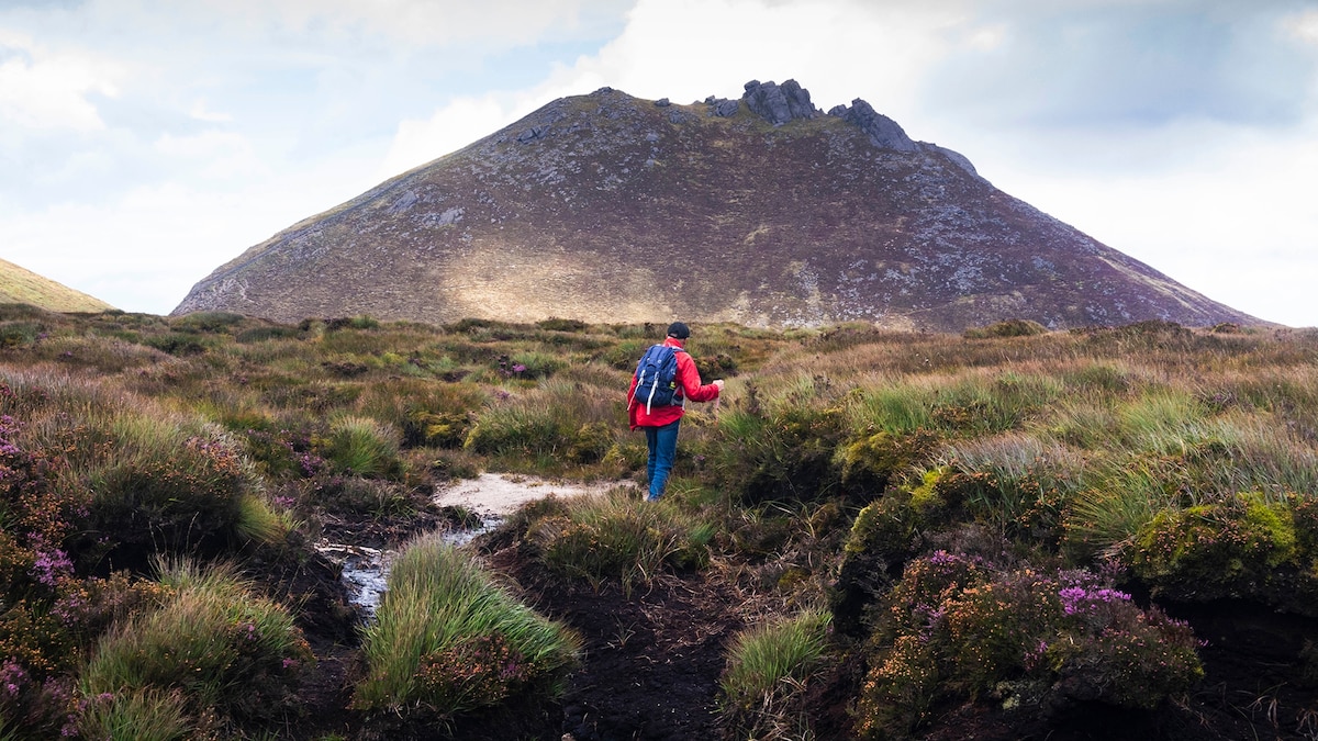 Mound in MounttrenchardMound · 1215 yd
 Monterey CypressMonterey Cypress · 1.4 mi
 Prospect HillMountain / peak · 2.4 mi
 Castle (Site of)Castle, unclassified · 3.0 mi
 Boatman's PointHeadland · 3.2 mi
 Battery PointHeadland · 3.2 mi
 Foynes Island ViewpointViewpoint · 3.2 mi
 Foynes Flying Boat & Maritime MuseumMuseum · 3.3 mi
Other information
Photo: Credit not shown in the picture search · Rights wording not checked; contact us if this picture should be removed