What is recorded here
On a low rise in open, gently undulating pasture. A roughly rectangular area (dims. c. 45m NW-SE; c. 30m NE-SW) is enclosed by a mortared stone wall with an entrance gate at E. The legible grave markers in the heavily overgrown interior date to the 18th and 19th-century. Traces of the foundations of a levelled church (KD023-002----) survive in the NW sector and there is a small, probably 19th-century, watch-house (KD023-002002-) at E. (www.kildare.co/Graveyard-Details.asp?ID=K129: Last accessed 16-04-2012)
Compiled by: Gearóid Conroy
Date of upload: 17 April 2012
The monument record does not grant public access. Check the route and ask the landowner before entering private land.
- What survives
- Recorded monument
Places near here
 Church in ruinsChurch · 6 yd
 Church in LewistownChurch · 1142 yd
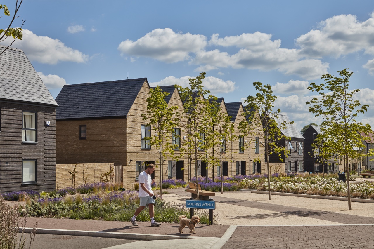 Enclosure in Newhall (ladytown Ed)Enclosure · 1633 yd
 Enclosure in Moortown (ladytown Ed)Enclosure · 1.2 mi
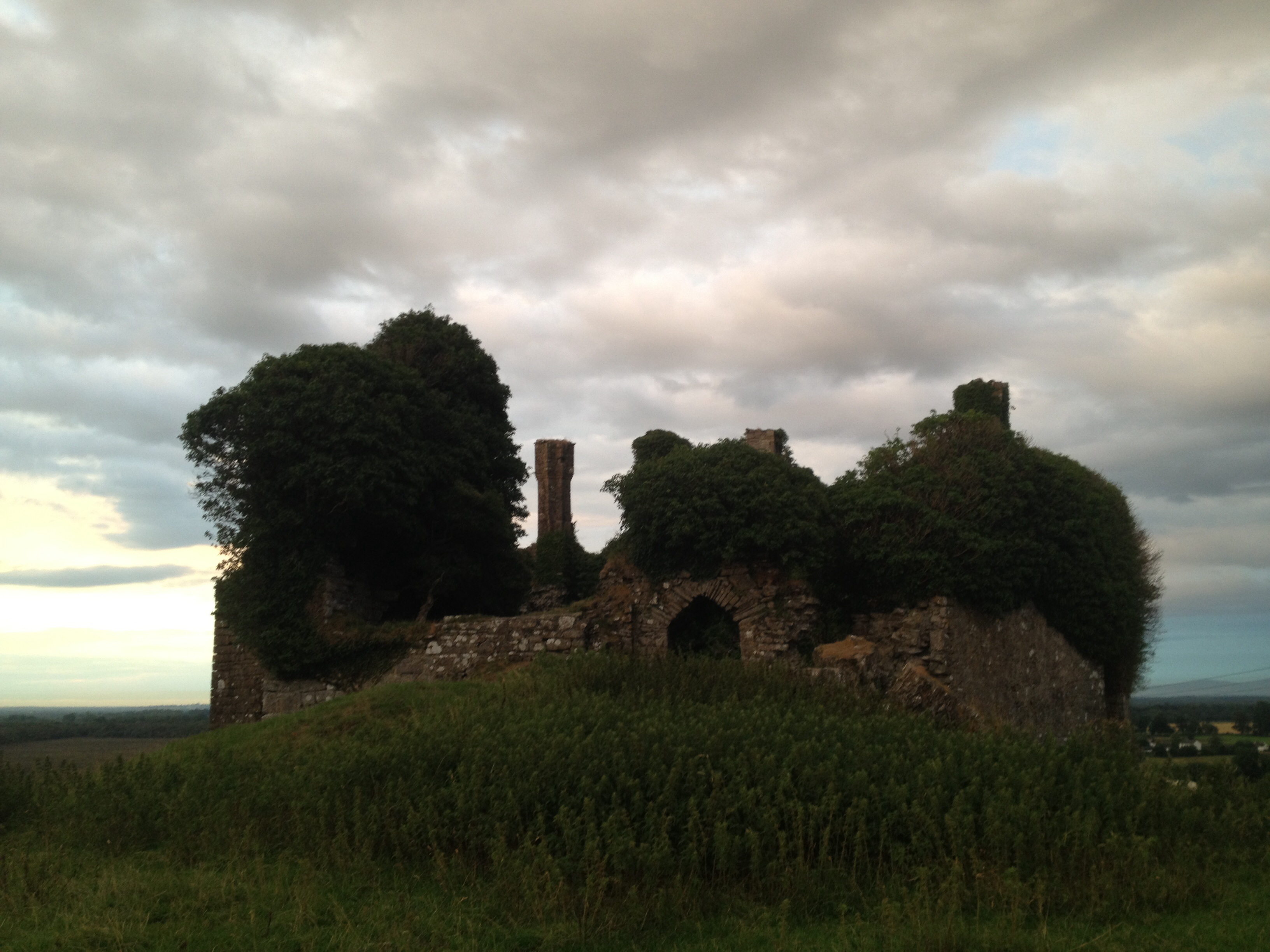 CastleCastle, unclassified · 2.0 mi
 European Crab AppleEuropean Crab Apple · 2.0 mi
 Castle RagCastle, tower house · 2.3 mi
 Newbridge SilverwareMuseum · 3.1 mi
 Monread District Park WoodsWood · 3.9 mi
 Grand Canal WayVisitor information · 5.8 mi
 Councillor Jim MileyMemorial · 8.5 mi
 Proclamation of the Irish RepublicMemorial · 8.5 mi