What is recorded here
On the E side of Inis Ní, overlooking Cloonile Bay. Marked on the 1838 edition of the OS 6-inch map as a roughly subcircular graveyard (c. 30m NE-SW; c. 27m NE-SW) with a ‘St. Mathias’s Chapel’ (GA050-011001-) immediately outside its boundary at WSW. On the 1898-9 resurvey of the map both elements are incorporated into a larger graveyard, roughly trapezoidal in shape (c. 80m NE-SW; c. 77m NW-SE). Traces of the earlier burial area (40m N-S; 20m E-W), defined by a boundary wall constructed of large and small boulders, are visible in the E half of the graveyard in a slight hollow. It may mark the original monastic hermitage. The greatest concentration of burials occurs in its S half where rows of neat stone-lined graves with upright headstones are orientated E-W. A leacht (GA050-011003-) and its associated cross-inscribed pillar (GA050-011004-) are visible at SE. A low rough bolder wall divides this area and the N half is c. 1.5m lower. Fewer burials are visible in this section and they are of recent date.
Compiled by: Olive Alcock
Date of upload: 12 June 2018
Christian burial ground, likely medieval in origin, associated with a chapel dedicated to Saint Mathias. Its location and early mapping suggest it was a place of local religious and community significance.
The monument record does not grant public access. Check the route and ask the landowner before entering private land.
- What survives
- Recorded monument
Places near here
 St. Mathiass ChapelChurch · 23 yd
 Inis NíIsland · 457 yd
 Enclosure in Inis NíEnclosure · 589 yd
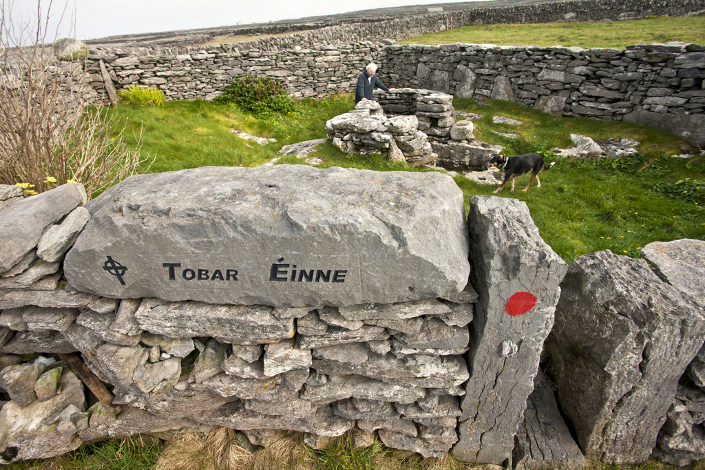 Holy well in Inis NíHoly well · 1156 yd
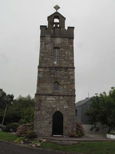 Roundstone Dominican Monasterybell tower/stand · 1.0 mi
 Roundstone Bay & Island ToursHeritage attraction · 1.1 mi
 Alexander NimmoMemorial · 1.1 mi
 Rosie McGurranGallery · 1.2 mi
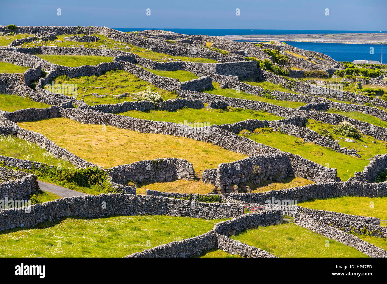 Inis TroigheIslet · 1.9 mi
 Iorras BeagMountain / peak · 2.7 mi
 Trá na FeadóigeBeach / strand · 3.0 mi
 Cnoc GlinsceMountain / peak · 3.3 mi