What is recorded here
In pastureland, in the SE corner of a large field. This graveyard, roughly trapezoidal shaped in plan (40m E-W; 39m N-S), is enclosed by a modern concrete wall. Access is via a gateway at E. A pathway lined with evergreen trees leads to an almost centrally located church (GA098-104001-). Inscribed headstones date from the 18th to the 20th centuries. Numerous uninscribed grave-markers are also scattered about it and in some cases architectural fragments from the church have been reused to mark graves.
Compiled by: Olive Alcock
Date of upload: 18 February 2020
The monument record does not grant public access. Check the route and ask the landowner before entering private land.
- What survives
- Recorded monument
Places near here
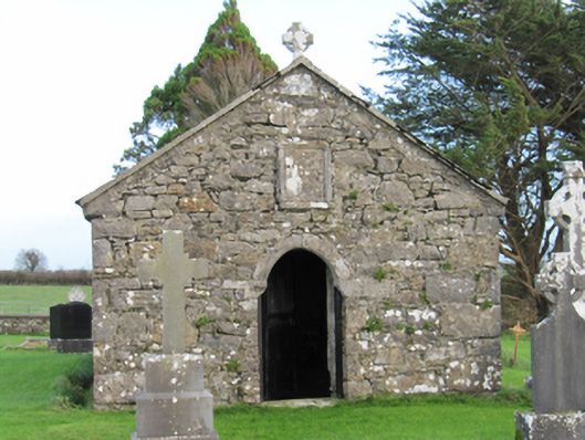 Finnure Catholic Chapelchurch/chapel · 4 yd
 Enclosure in CastlenancyEnclosure · 1336 yd
 CaveMan-made underground passage · 1372 yd
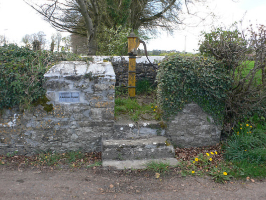 water pumpwater pump · 1568 yd
 Dartfield Horse MuseumHeritage attraction · 2.6 mi
 Kilcooly Castle (in ruins)Castle, tower house · 2.7 mi
 Drought Castle (in Ruins)Castle, tower house · 2.8 mi
 Quarryhill WoodWood · 6.3 mi
 Battle of AughrimMajor battlefield · 6.5 mi
 The bloody HollowHeritage attraction · 6.6 mi
 Battle of Aughrim Interpretative CentreMuseum · 6.7 mi
 Bog WoodForest · 6.9 mi