What is recorded here
Indicated as an oval graveyard (c. 90m N-S; c. 75m E-W) on the OS first edition 6-inch map but now extended further S (max. dims. 200m N-S; c. 160m E-W). A steeply sloping and extensive graveyard defined by a 19th-century stone wall with mature yew trees and many 18th and 19th century tombstones. Drumcliff church (CL033-033001-) and round tower (CL033-033003-) lie at the N extremity. The graveyard contains a pauper’s grave at the SW corner where the poor, particularly from the 19th-century workhouse, are buried. There is also the unmarked mass grave of some 350 cholera victims from an outbreak in the 1830’s and an ill-defined famine grave from 1846-9 where it is thought more than 2000 people are buried. (Lalor 1999, 109-10)
Compiled by: Michael Moore and Mary Tunney
Date of upload: 28 April 2015
A local ancient tomb; wider significance not recorded.
The monument record does not grant public access. Check the route and ask the landowner before entering private land.
- What survives
- Recorded monument
Places near here
 Church (in ruins)Church · 35 yd
 Cloigtheach (Round Tower)Round tower · 55 yd
 Enclosure in DrumcliffEnclosure · 258 yd
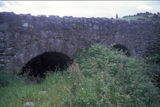 Ballymacquiggan Bridgebridge · 524 yd
 Post Office FieldNature reserve · 1.6 mi
 Ennis AbbeyMuseum · 1.6 mi
 Ardcarney WoodWood · 1.7 mi
 Clare MuseumMuseum · 1.8 mi
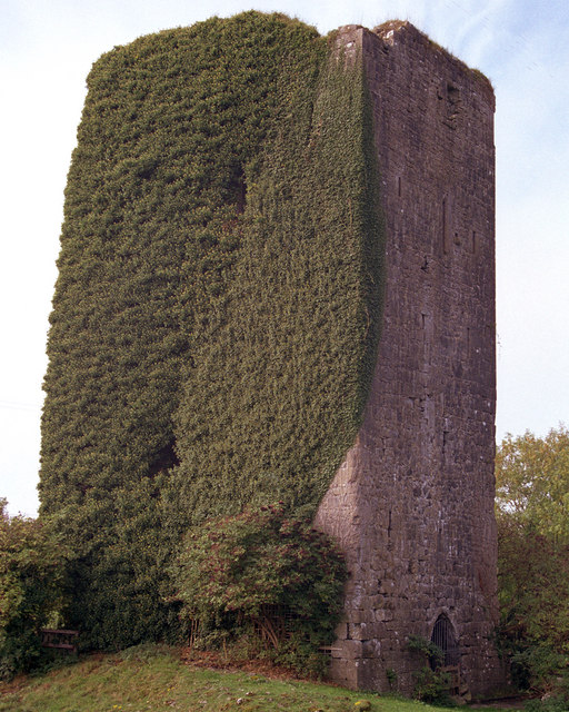 Ballygriffy CastleCastle · 1.8 mi
 CastleCastle, tower house · 1.8 mi
 Poul na gollorCave · 2.9 mi
 Alice and Gwendoline CaveMuseum · 3.5 mi