What is recorded here
At the base of a N-facing slope of Slievenamuck hill, in meadow. The church (TS067-056----) is orientated slightly NE-SW and is located parallel and close to the N wall of the graveyard. Both the church and graveyard are very overgrown. The rectangular graveyard (dims. 63m ENE-WSW; 45m NNW-SSE) is enclosed by an earthen bank (H 0.7m; Wth 2.2m) with an entrance in the S wall. The entrance consists of a gate between piers with a cement rendered wall running for 3m on either side. According to the OS letters in 1840, ‘There is a large graveyard attached but it is seldom used at present’ (O’Flanagan 1930, vol. 1, 14 (35)). There are only a few headstones evident, these are of 19th-century date, others may be obscured by the heavily overgrowth. There is a 20th-century Calvary Mount in the SW part of the graveyard.
Compiled by: Jean Farrelly
Date of upload: 12 December 2012
The monument record does not grant public access. Check the route and ask the landowner before entering private land.
- What survives
- Recorded monument
Places near here
 Cordangan Church (in ruins)Church · 15 yd
 Cordangan Castle ruinsCastle · 322 yd
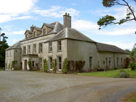 Cordangan Manorcountry house · 424 yd
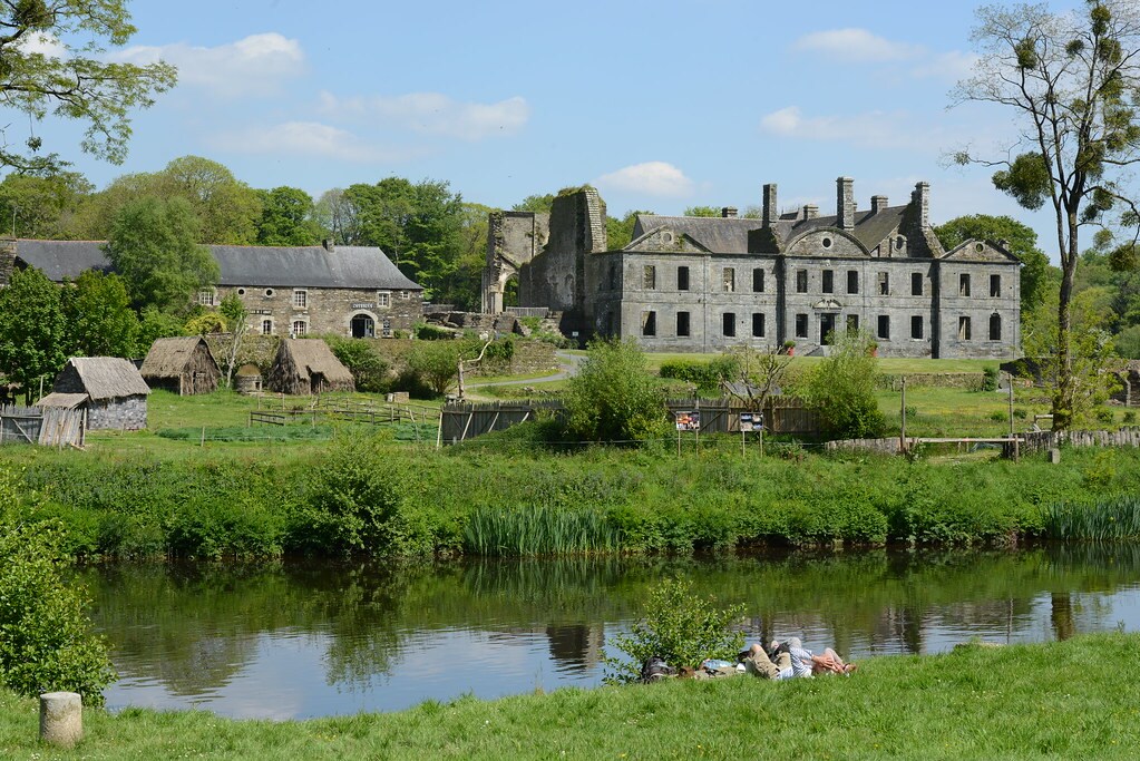 Enclosure in Lacken (cordangan Par.)Enclosure · 1572 yd
 Bansha ForestForest · 1647 yd
 The RockViewpoint · 1.2 mi
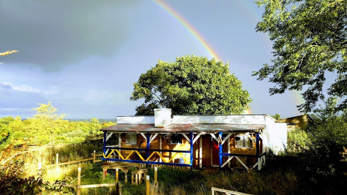 Enclosure in Ballyglass Lower (clonpet Par.),ballyglass Lower (cordangan Par.)Enclosure · 1.2 mi
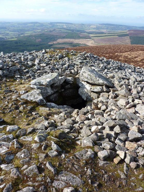 Site of Seefin CastleCastle, unclassified · 1.5 mi
 Christ the KingViewpoint · 1.8 mi
 Glen of AherlowViewpoint · 1.9 mi
 I.R.A. 3rd. Tipperary Brigade MemorialMemorial · 2.0 mi
 It's a long way to TippereryHeritage attraction · 2.1 mi