What is recorded here
Situated at the S tip of a slight N-S spur. The parish church of Mayglass (WX047-015001-) is within a rectangular graveyard (max. dims c. 80m E-W; c. 35m N-S) defined by an earthen bank and hedge, except at the E end of the S side where there is a masonry wall, and the perimeter is removed at NE where the graveyard is extended.
Compiled by: Michael Moore
Date of upload: 14 October, 2013
The monument record does not grant public access. Check the route and ask the landowner before entering private land.
- What survives
- Recorded monument
Places near here
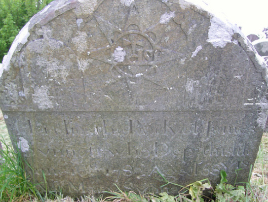 graveyard/cemeterygraveyard/cemetery · 10 yd
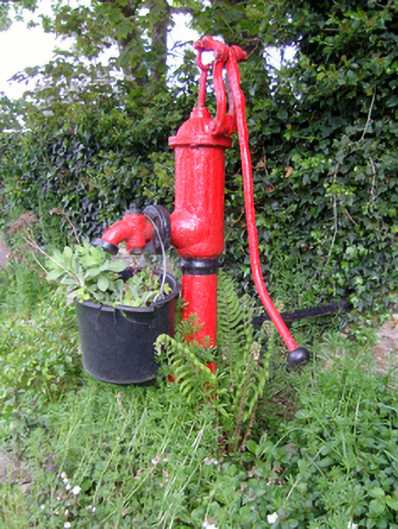 water pumpwater pump · 79 yd
 St. Fintans WellHoly well · 140 yd
 CastleRuins · 1579 yd
 Not idnicatedChurchyard · 1631 yd
 Castle (Site of)Castle, unclassified · 1.7 mi
 The Heron's MeadowForest · 1.9 mi
 The Bull RockForest · 2.1 mi
 1798 Memorial PlaqueMemorial · 2.4 mi
 Johnstown Castle Visitor CentreHeritage attraction · 3.1 mi
 Irish Agricultural MuseumMuseum · 3.1 mi
 The White Hole BeachBeach / strand · 4.0 mi