What is recorded here
In relatively flat marshland with view limited to the NE and SE. Kylebeg medieval church (KK020-019001-), which is aligned NE-SW, is centrally placed within this small graveyard. The graveyard is indicated as a dashed line on the 1st (1839) ed. OS 6-inch map which suggests that it was not enclosed at this date. It is indicated as enclosed on the subsequent revision of the 6-inch map in 1900. The graveyard consists of a sub-rectangular raised area (dims. c. 38m E-W x c. 25m N-S) enclosed by a stone wall and entered through a stile on the W side, where the public road runs along the outside. The headstones in the graveyard are concentrated in an area S of the church and all appear to be 18th century in date or later. There are some architectural fragments lying about the graveyard.
Compiled by: Jean Farrelly
Date of upload: 11 December 2020
The monument record does not grant public access. Check the route and ask the landowner before entering private land.
- What survives
- Recorded monument
Places near here
 Kylebeg Church (in ruins)Church · 7 yd
 Enclosure in BlanchvillestownEnclosure · 431 yd
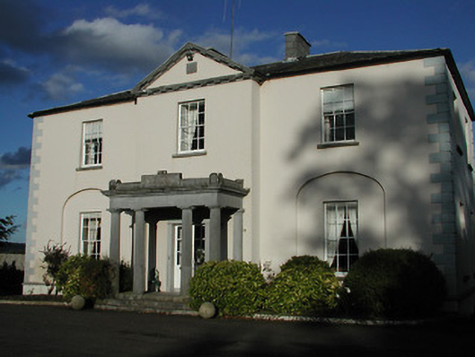 Blanchville Housecountry house · 623 yd
 Site of Blanchville CastleCastle, unclassified · 677 yd
 Enclosure in Blanchville DemesneEnclosure · 1010 yd
 Clifden CastleCastle, tower house · 1.3 mi
 HawthornHawthorn · 1.6 mi
 The CommonsForest · 2.3 mi
 St. Mogarra’s WellSpring · 3.0 mi
 Time CapsuleMemorial · 3.5 mi
 Tullaherin Church and Round TowerVisitor information · 3.6 mi
 Kilbline GraveyardArchaeological place · 4.0 mi