What is recorded here
Grave Yard in County Kilkenny holds Kylebeg medieval church inside a small stone wall, standing in flat marshland where sight reaches only northeast and southeast. Headstones south of the church date from the 18th century or later, while broken architectural pieces scatter around the grass. The place may have remained open and forgotten until the wall closed it, giving the dead a clearer edge against the wet land.
In relatively flat marshland with view limited to the NE and SE. Kylebeg medieval church (KK020-019001-), which is aligned NE-SW, is centrally placed within this small graveyard. The graveyard is indicated as a dashed line on the 1st (1839) ed. OS 6-inch map which suggests that it was not enclosed at this date. It is indicated as enclosed on the subsequent revision of the 6-inch map in 1900. The graveyard consists of a sub-rectangular raised area (dims. c. 38m E-W x c. 25m N-S) enclosed by a stone wall and entered through a stile on the W side, where the public road runs along the outside. The headstones in the graveyard are concentrated in an area S of the church and all appear to be 18th century in date or later. There are some architectural fragments lying about the graveyard.
Compiled by: Jean Farrelly
Date of upload: 11 December 2020
The monument record does not grant public access. Check the route and ask the landowner before entering private land.
- What survives
- Recorded monument
Places near here
 Kylebeg Church (in ruins)Church · 7 yd
 Enclosure in BlanchvillestownEnclosure · 431 yd
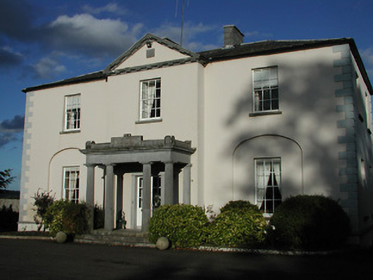 Blanchville Housecountry house · 623 yd
 Site of Blanchville CastleCastle, unclassified · 677 yd
 Enclosure in Blanchville DemesneEnclosure · 1010 yd
 Clifden CastleCastle, tower house · 1.3 mi
 HawthornHawthorn · 1.6 mi
 The CommonsForest · 2.3 mi
 St. Mogarra’s WellSpring · 3.0 mi
 Time CapsuleMemorial · 3.5 mi
 Tullaherin Church and Round TowerVisitor information · 3.6 mi
 Kilbline GraveyardArchaeological place · 4.0 mi