What is recorded here
In pasture, close to the shore on the W side of the River Moy estuary. The graveyard encompasses the W end of an E−W ridge. A gentle slope immediately outside the W wall of the graveyard drops to a stream, which skirts the graveyard at W and S.
The graveyard is subrectangular (c. 29m E–W; c. 28m N–S), enclosed by a mortared stone-built wall of relatively modern date, accessed at the W end of the N wall through a wrought-iron gate, flanked by circular stone-built pillars. There is a ruined medieval church (MA022-055001-) in the N half. There is a predominance of early 19-century graveslabs, lying directly on the ground or supported on low stone walls, to W and S of the church; many of these are in a somewhat dilapidated condition. Several 20th-century rectangular grave plots are intersperced between the 19th-century graves, and a close-set row fills the narrow space between the N wall of the church and the N graveyard wall. Numerous low, uninscribed stone gravemarkers, many arranged contiguously in roughly N−S rows, are visible throughout the graveyard.
There is a castle (MA022-054----) c. 50m to NW, and a rath (MA022-056----) c. 140m to E. An access road lies to the N of the graveyard.
Compiled by: Jane O’Shaughnessy
Date of upload: 2 May 2019
The monument record does not grant public access. Check the route and ask the landowner before entering private land.
- What survives
- Recorded monument
Places near here
 Church in RuinsChurch · 11 yd
 Ballysakeery CastleCastle, unclassified · 101 yd
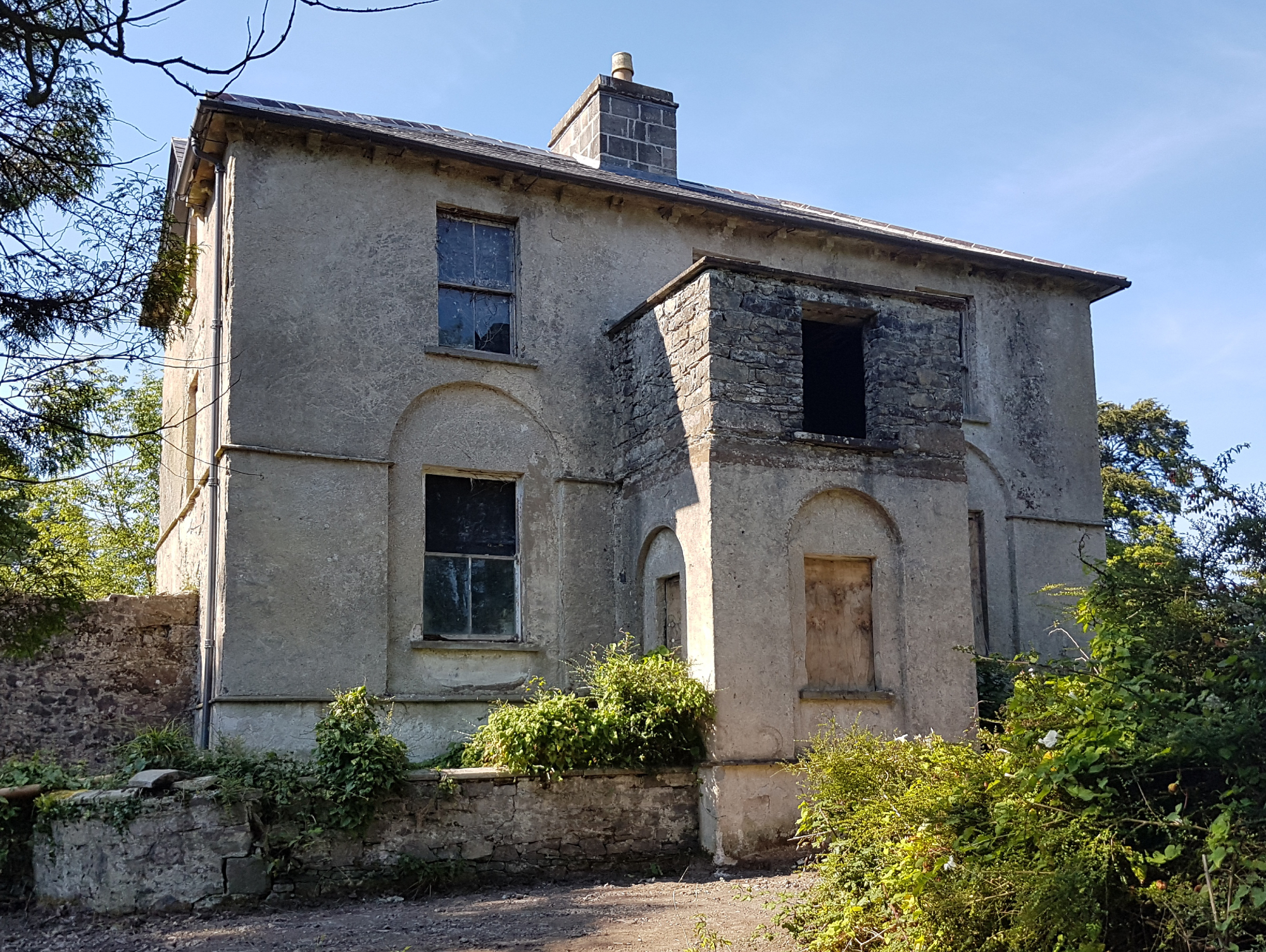 IndicatedFairy fort / earthen ringfort · 196 yd
 Goose IslandIslet · 874 yd
 Gortabradawn PointHeadland · 880 yd
 Sandland FortFairy fort / earthen ringfort · 1018 yd
 Rinnachurry PointHeadland · 1050 yd
 Horse IslandIslet · 1.1 mi
 Bartragh Housecountry house · 1.1 mi
 Rosserk AbbeyHeritage attraction · 1.2 mi
 HawthornHawthorn · 1.3 mi
 Moyne AbbeyHeritage attraction · 1.4 mi