What is recorded here
Close to foot of a steep, W-facing hill-slope. Known locally as Reilig Sheanadh Mhaoilín, and indicated on 1st ed. of OS 6-inch map as an enclosed D-shaped area (c. 30m by c. 25m). Now enlarged into a walled rectangle. Most of the graves appear to be modern.
The above description is derived from the published 'Archaeological Inventory of County Galway Vol. I - West Galway'. Compiled by Paul Gosling (Dublin: Stationery Office, 1993).
Date of upload: 05 August 2010
The monument record does not grant public access. Check the route and ask the landowner before entering private land.
- What survives
- Recorded monument
Places near here
 Penitential station in Doire BhrioscPenitential station · 1553 yd
 Leaca DonnaMountain / peak · 1.4 mi
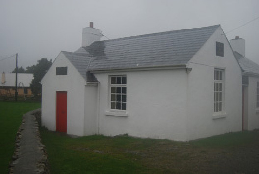 Tulach na hÉigseschool · 2.0 mi
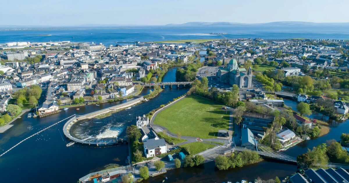 An tOileán BánIslet · 2.7 mi
 Fáinne ChamuisHeritage attraction · 3.3 mi
 Cnoc ChamaisMountain / peak · 3.4 mi
 Screebe WaterfallWaterfall · 3.6 mi
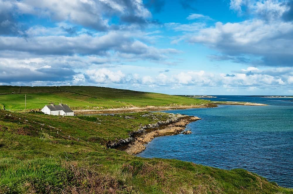 Cora ChláirHeadland · 3.8 mi
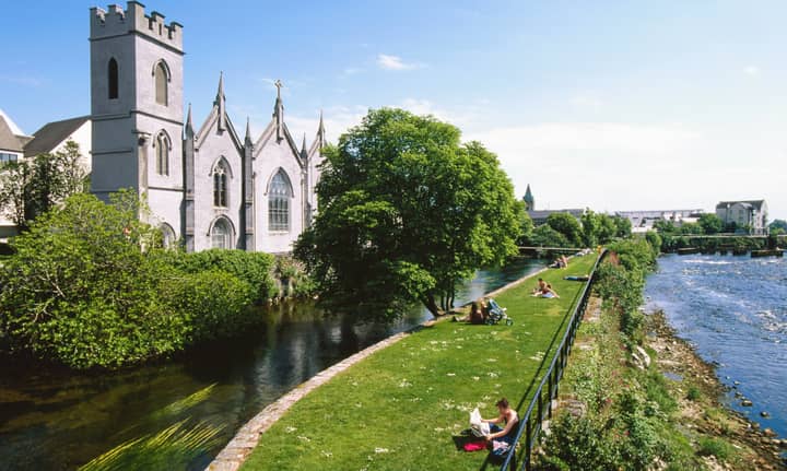 Cora an GhréasaíHeadland · 4.3 mi
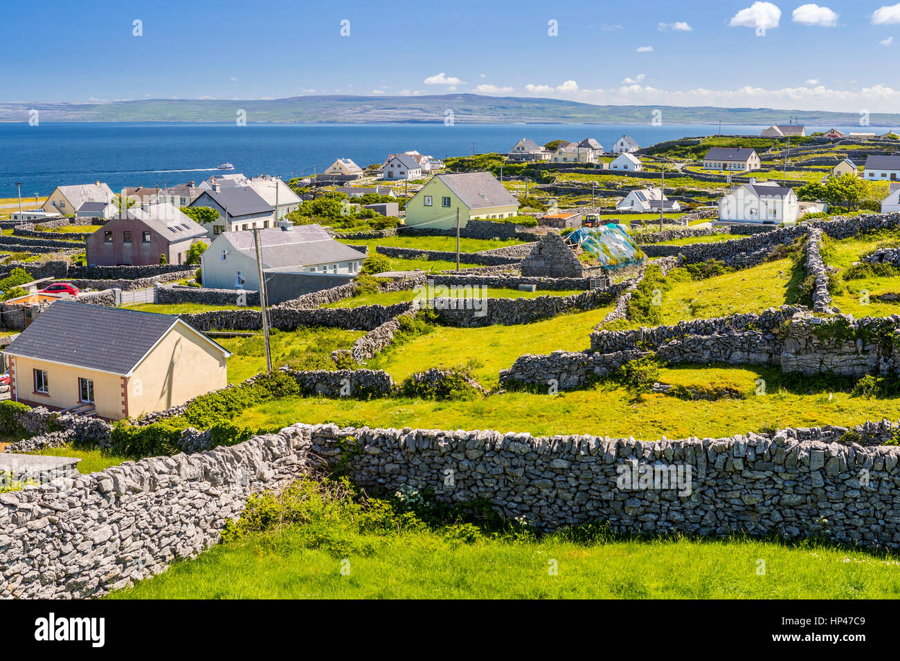 Inis AillteIslet · 4.3 mi
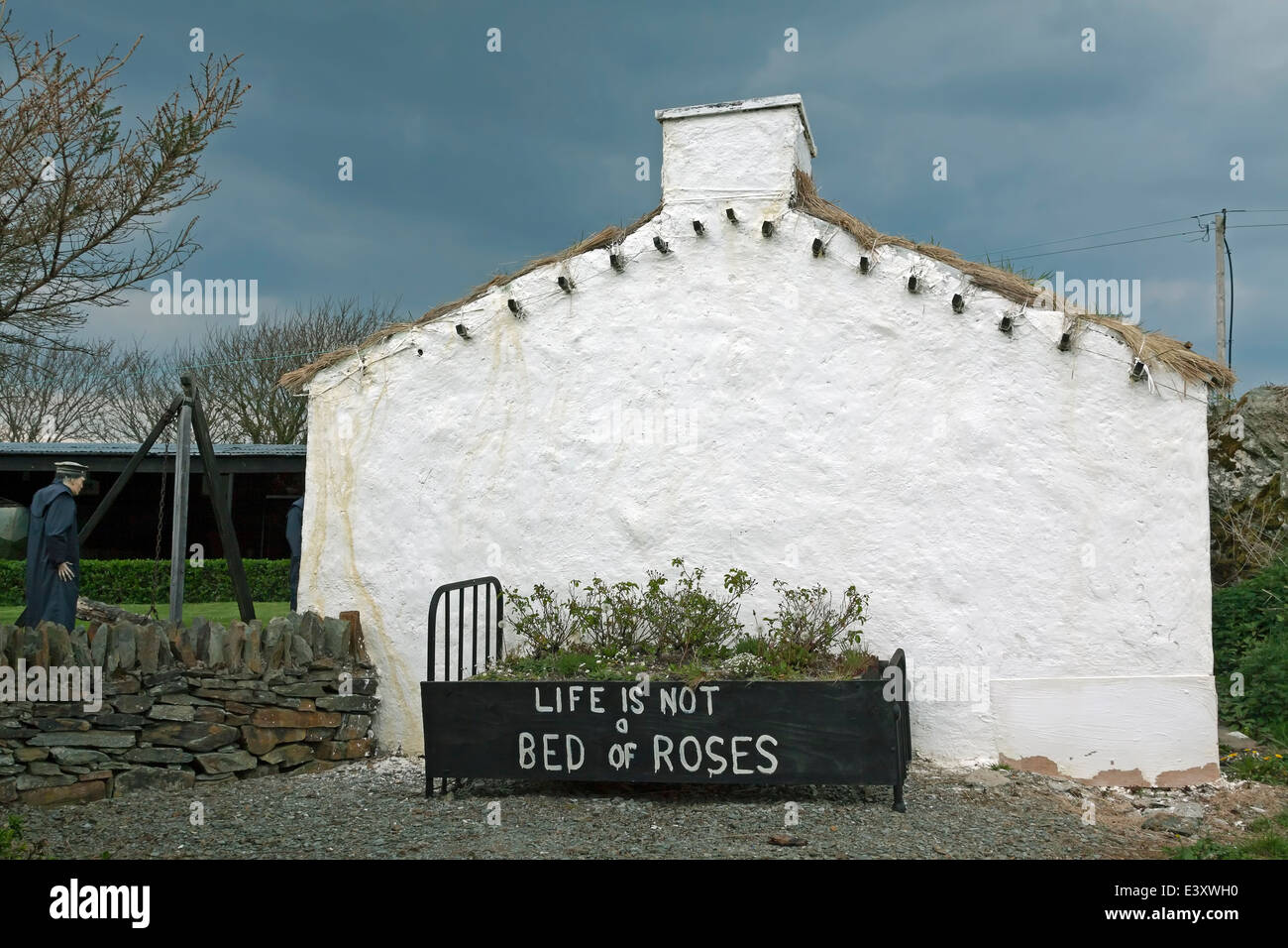 Famine VillageArchaeological place · 4.9 mi
 Teach an PhiarsaighHeritage attraction · 5.1 mi