What is recorded here
Close to summit of a wooded hill, on a promontory on W side of Lough Corrib. Named but not indicated on 2nd ed. of OS 6-inch map (1899). No visible surface trace was found.
The above description is derived from the published 'Archaeological Inventory of County Galway Vol. I - West Galway'. Compiled by Paul Gosling (Dublin: Stationery Office, 1993).
Date of upload: 05 August 2010
The monument record does not grant public access. Check the route and ask the landowner before entering private land.
- What survives
- Recorded monument
Places near here
 AnnaghwoodWood · 104 yd
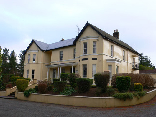 Gortdrishagh Housecountry house · 471 yd
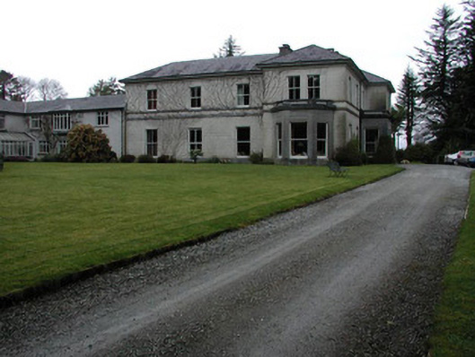 Currarevagh Housecountry house · 1137 yd
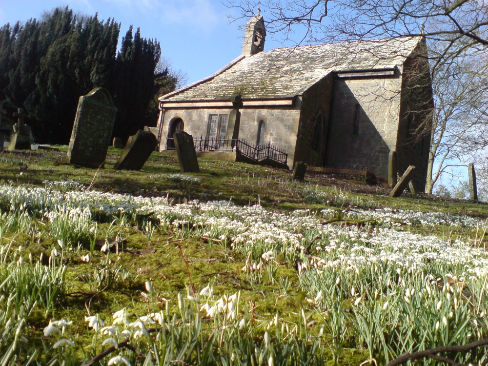 St. Cuthberts WellHoly well · 1331 yd
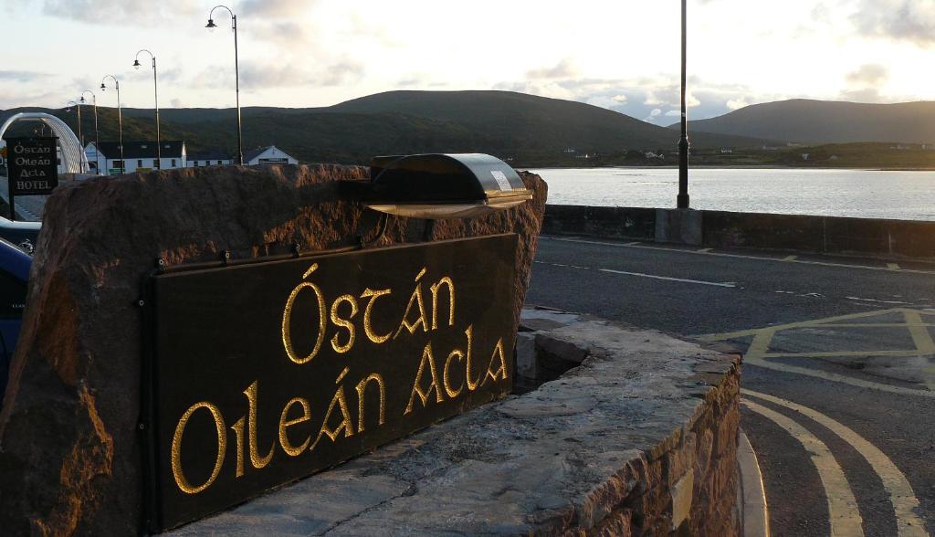 Oileán Dá LáraIslet · 1.3 mi
 Newvillage ForestForest · 1.3 mi
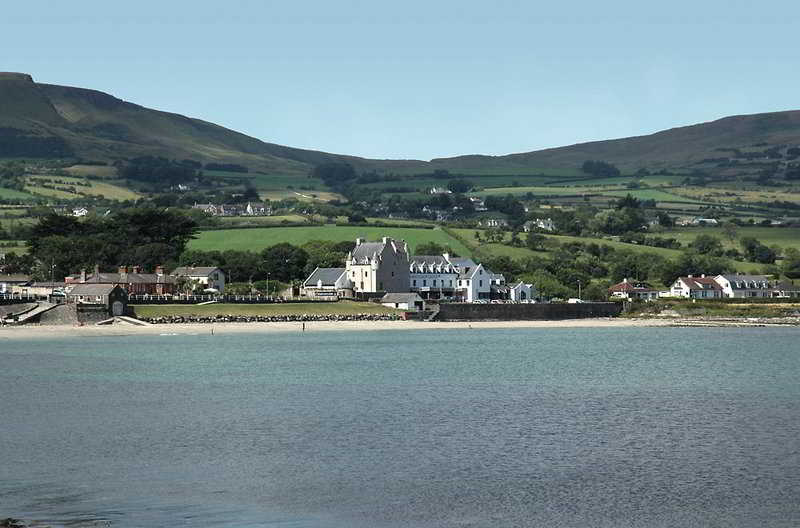 Enclosure in BallygallyEnclosure · 1.4 mi
 RoeillaunIslet · 1.4 mi
 CastleCastle, unclassified · 2.3 mi
 Owenriff WayWalking route · 2.3 mi
 Glengowla Mines MuseumMuseum · 3.4 mi
 Glengowla MinesHeritage attraction · 3.4 mi