
What is recorded here
Gortflugh is a collapsed stone ringfort in County Donegal, Ireland, where a wide double-faced wall still stands beside a sloping oval yard. People may have grazed livestock on the nearby land or drawn water from the hollow to the south, but the fort itself has withdrawn beneath wood and shadow. Its stones do not explain themselves; they wait for someone patient enough to listen.
Internal diam. 23m. An oval space enclosed by a stone wall now collapsed. On the NW side a stretch of wall with both inner and outer facing is 1.8m wide and survives up to 1m in height. The interior slopes from N to S and less so from E to W. A hollow in the ground to the S may be the remains of a well. It is located on a S-facing slope, now wooded and obscuring extensive views. There is much rock outcrop including a higher ridge to the N. Good grazing exists on lower ground N and S.
The above description was derived from the 'Archaeological Survey of County Donegal. A description of the field antiquities of the County from the Mesolithic Period to the 17th century.' Compiled by: Brian Lacey with Eamon Cody, Claire Cotter, Judy Cuppage, Noel Dunne, Vincent Hurley, Celie O'Rahilly, Paul Walsh and Seán Ó Nualláin (Lifford: Donegal County Council, 1983). In certain instances the entries have been revised and updated.
Date of upload: 22 September 2008
The monument record does not grant public access. Check the route and ask the landowner before entering private land.
- What survives
- Recorded monument
Places near here
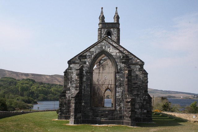 Old ChurchChurch · 673 yd
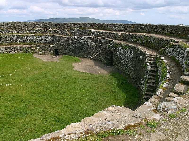 Fairy fort / stone ringfort in ClondallanFairy fort / stone ringfort · 1240 yd
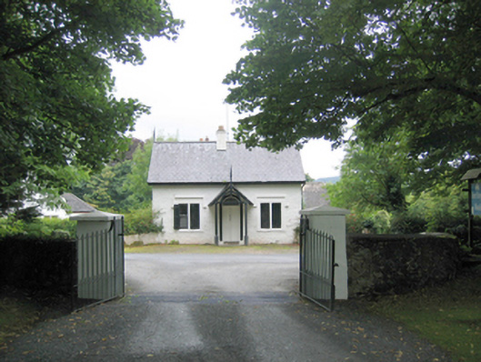 Fort Royalgate lodge · 1363 yd
 Glencross Fairy FortFairy fort / ringfort · 1495 yd
 Wych ElmWych Elm · 1.0 mi
 RathmullanOfficial bathing water · 1.3 mi
 Croaghan HillMountain / peak · 1.9 mi
 Rathmullan Wood Nature ReserveNature reserve · 1.9 mi
 Inch FortCastle · 2.3 mi
 LisfannonOfficial bathing water · 2.5 mi
 Brown’s PointHeadland · 2.8 mi
 Neds Point FortFort · 3.1 mi
Other information
Photo: Credit not shown in the picture search · Rights wording not checked; contact us if this picture should be removed