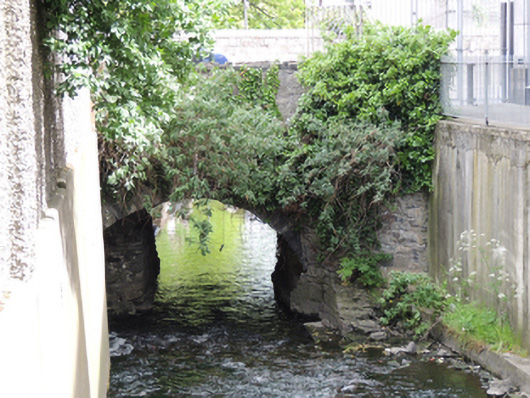
What is recorded here
Single-arch masonry bridge, built c.1760, carrying Emmet Road over Camac River. Road widened to north in twentieth-century, having recent wall to north elevation. Segmental-arch with rubble limestone voussoirs, walls, and parapet wall to south elevation. Square-headed poured concrete lintel and soffit to north elevation having cement block parapet wall and cement coping. Tarmacadam carriageway, with cement-paved path to north and south.
Although subsequently altered due to road widening, this traditionally constructed bridge in unrefined locally-sourced stone is evidence of the long established settlement here. As a crossing point over the River Camac it would have provided access to nearby Richmond Barracks from the west. Golden Bridge was mapped as early as John Rocque's map of Dublin city and environs of 1773. Still in use today, it has given its name to the townlands to the south, Goldenbridge North and Goldenbridge South, indicating its significance to the area in the past.
This does not grant access. Most recorded buildings are privately owned; view them only from public ground unless the owner allows entry.
Places near here
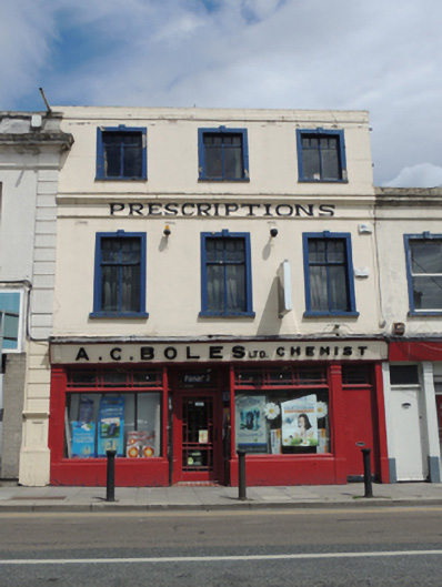 A.C. Bolesshop/retail outlet · 43 yd
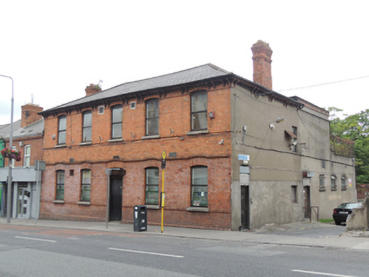 Inchicore United Workmans Clubclubhouse · 79 yd
 Irish Citizen ArmyMemorial · 389 yd
 Toni'sPicnic place · 452 yd
 Burials (site of)Burial · 521 yd
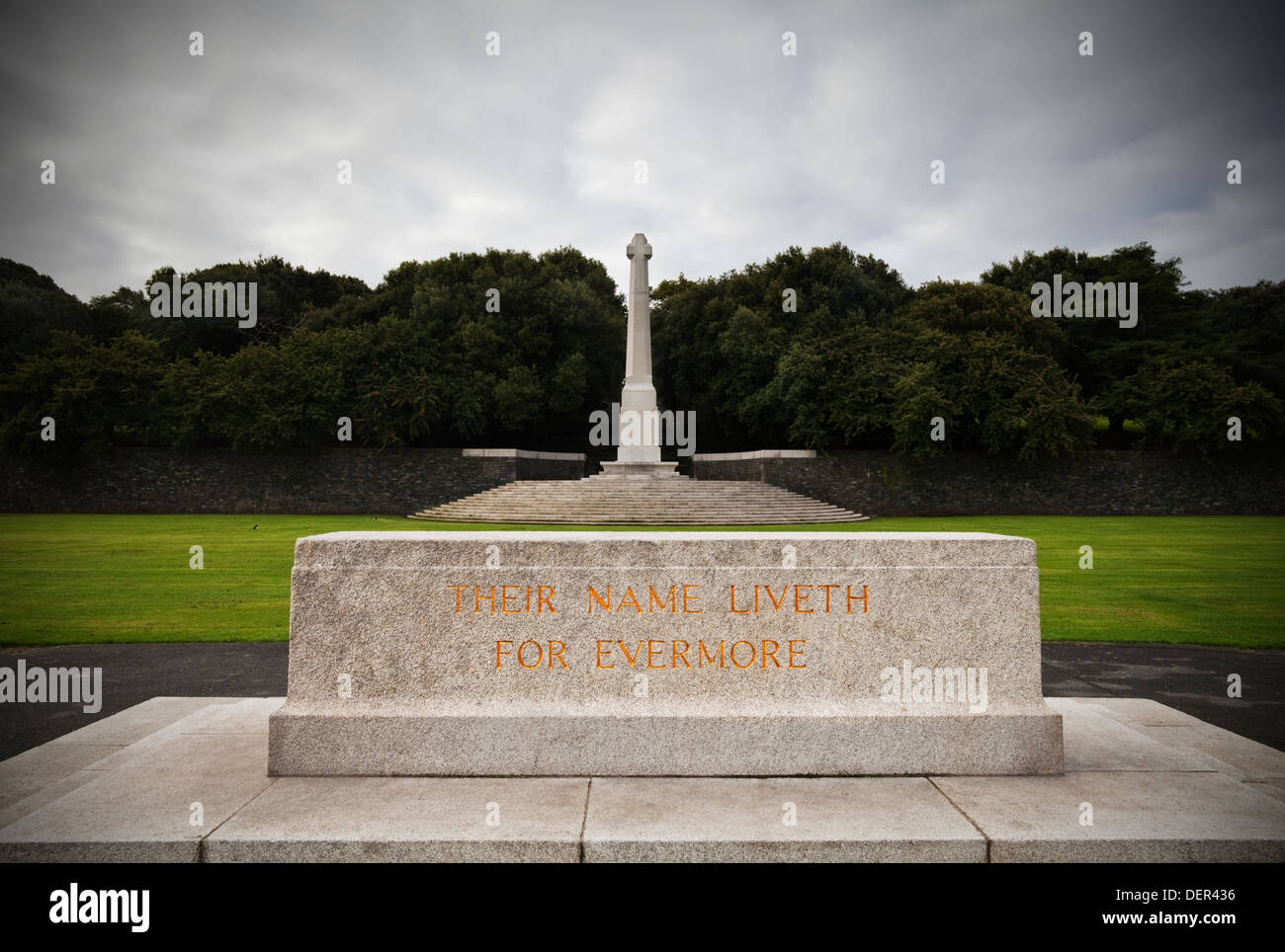 Great Cross of SacrificeMonument · 563 yd
 Executions of the leaders of the 1916 risingMemorial · 799 yd
 Kilmainham Jail MuseumMuseum · 845 yd
 Islandbridge LodgeVisitor information · 1267 yd
 Royal Hospital KilmainhamHeritage attraction · 1365 yd
 Horse-chestnutHorse-chestnut · 1.1 mi
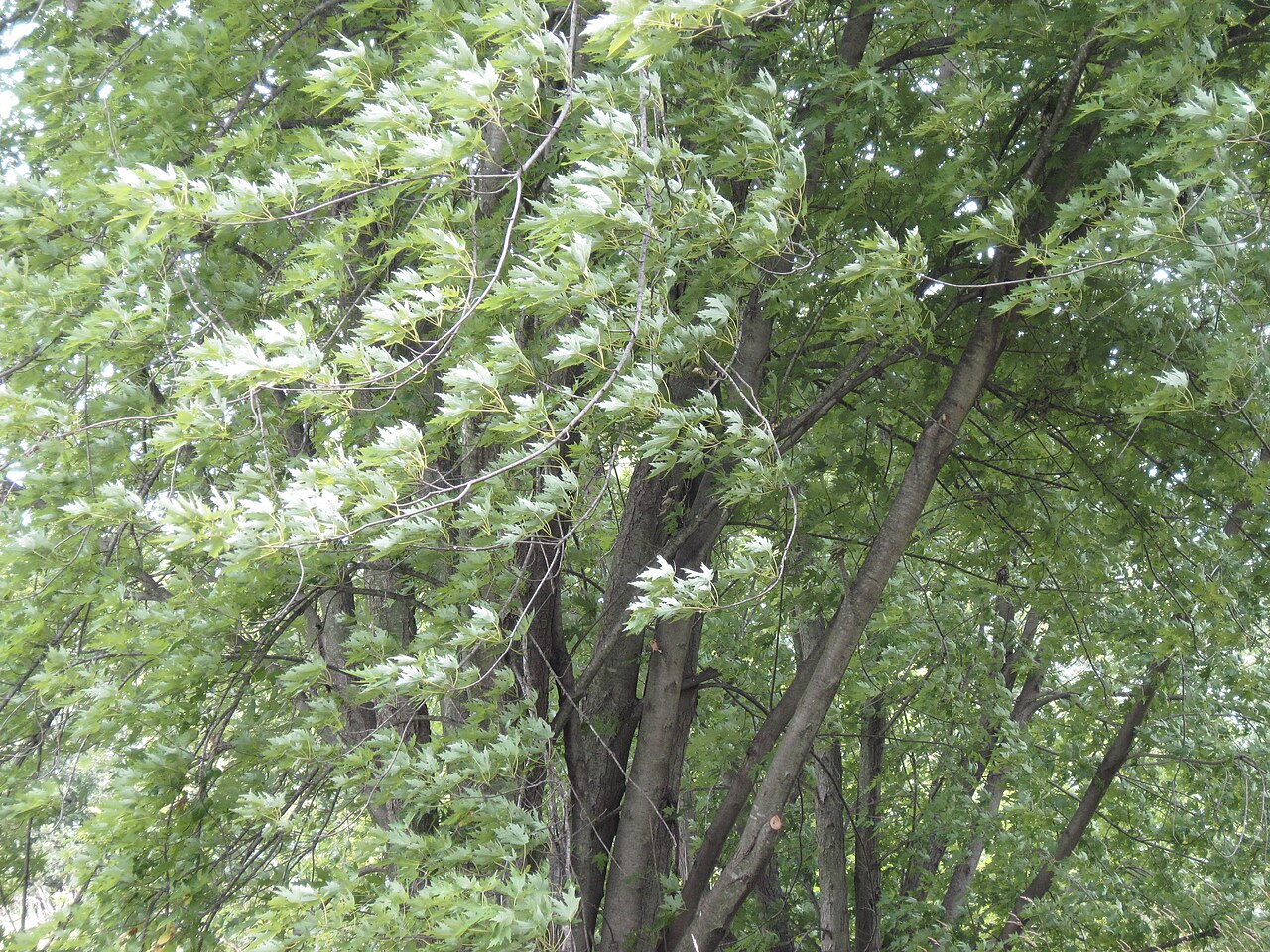 Silver mapleSilver maple · 1.1 mi
Other information
Photo: National Inventory of Architectural Heritage · Website use allowed for educational or private purposes with source credit