What is recorded here
Glenoe Historic Settlement in Ballywillin, County Antrim, dates to the C18TH, when ordinary people likely built homes, dug gardens and listened for danger on the land. The official map still marks the centre of that forgotten neighbourhood, preserving a small human life now hidden beneath grass and time.
The official Northern Ireland record identifies this as Glenoe Historic Settlement. Recorded period: C18TH. The official map point was placed at the centre of the recorded archaeological site from the source map reference.
The monument record does not grant public access. Check the route and ask the landowner before entering private land.
- What survives
- Recorded monument
Places near here
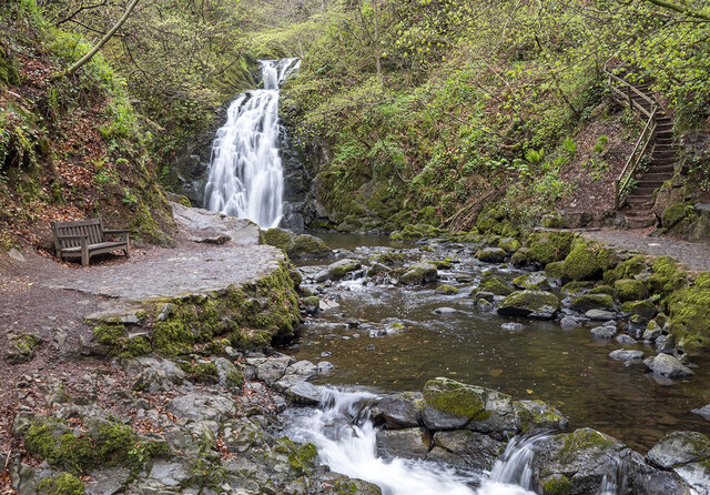 Glenoe WaterfallWaterfall · 63 yd
_-_geograph.org.uk_-_580056.jpg?width=1280) 6 Glenoe VillageHouse · 76 yd
6 Glenoe VillageHouse · 76 yd ENCLOSURE (O.S. memoir site; unlocated) in BallylessonENCLOSURE (O.S. memoir site; unlocated) · 1490 yd
 A.P. SITE or FARMSTEADA.P. SITE or FARMSTEAD, banked enclosure; field boundaries and house platform. · 2.0 mi
 Glynn Old ChurchRuins · 2.0 mi
 Swan IslandIslet · 2.5 mi
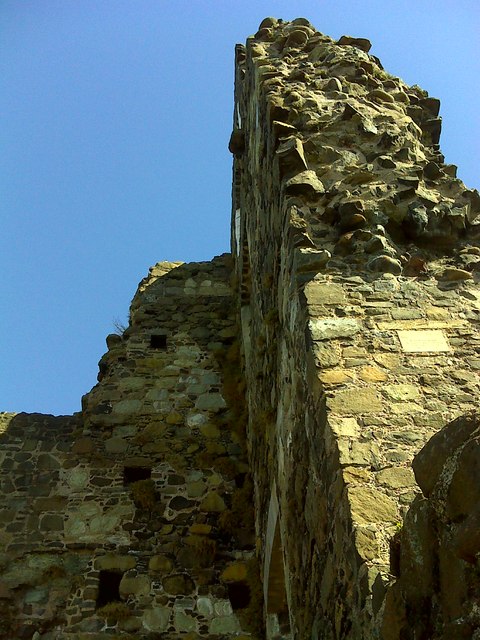 CASTLE: OLDERFLEET CASTLE or THE CURRAN CASTLE in Curran AND DrumalissCASTLE: OLDERFLEET CASTLE or THE CURRAN CASTLE · 3.3 mi
 Olderfleet CastleCastle · 3.3 mi
 Larne War MemorialMemorial · 3.5 mi
 North Carn ForestForest · 3.8 mi
 POST-MED CHURCH; MEDIEVAL PARISH CHURCH; GRAVEYARD: TEMPLECORRAN CHURCH or TEMPLE-I-CORRAN or LISLAYNAN in Forthill (ballycarry)POST-MED CHURCH; MEDIEVAL PARISH CHURCH; GRAVEYARD: TEMPLECORRAN CHURCH or TEMPLE-I-CORRAN or LISLAYNAN · 3.8 mi
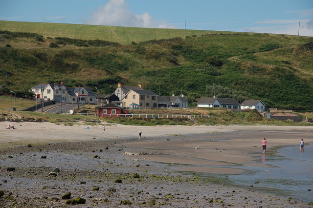 Browns bay walkBeach / strand · 4.6 mi