
What is recorded here
Glencross Fairy Fort is an uneven rock mound in good Donegal pasture, marked only as a single-ringed fort on old maps. It may have been a boundary marker, a shelter or a child's climbing hill, but its shape resists that easy certainty. The land still uses it for grazing, while the mound keeps its own secret, refusing to become either history or fantasy.
An uneven mound of rock seems to be the site shown as a single-ringed 'Fort' on the 1st and 2nd editions of the OS 6-inch maps. The location is good pasture land.
The above description was derived from the 'Archaeological Survey of County Donegal. A description of the field antiquities of the County from the Mesolithic Period to the 17th century.' Compiled by: Brian Lacey with Eamon Cody, Claire Cotter, Judy Cuppage, Noel Dunne, Vincent Hurley, Celie O'Rahilly, Paul Walsh and Seán Ó Nualláin (Lifford: Donegal County Council, 1983). In certain instances the entries have been revised and updated.
Date of upload: 22 September 2008
The monument record does not grant public access. Check the route and ask the landowner before entering private land.
- What survives
- Recorded monument
Places near here
 Rathmullan and Ballyboe Fairy FortFairy fort / earthen ringfort · 1069 yd
 Saint Catherine's Catholic Churchchurch/chapel · 1336 yd
 Gortflugh Stone RingfortFairy fort / stone ringfort · 1496 yd
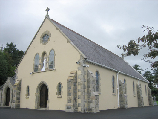 Saint Joseph's Catholic Churchchurch/chapel · 1.0 mi
 Croaghan HillMountain / peak · 1.1 mi
 Wych ElmWych Elm · 1.1 mi
 Rathmullan Wood Nature ReserveNature reserve · 1.3 mi
 RathmullanOfficial bathing water · 1.3 mi
 Inch FortCastle · 2.3 mi
 LisfannonOfficial bathing water · 3.1 mi
 Brown’s PointHeadland · 3.1 mi
 InchIsland · 3.7 mi
Other information
Photo: Credit not shown in the picture search · Rights wording not checked; contact us if this picture should be removed