What is recorded here
Scotland's National Record of the Historic Environment records Glasgow, 60, 62, 64, 66, 68 Woodlands Road as Shop (20th Century), Tenement (20th Century), Terrace (20th Century). The official map says its point is accurate as follows: NGR given to the nearest 1m. The record does not by itself mean that the public may enter the place.
The historic-place record does not grant public access. Check current conditions and ownership before entering land or a building.
Places near here
 Glasgow, 11a Lynedoch StreetTerraced House (19th Century) · 81 yd
 Glasgow, Baliol LaneWarehouse (20th Century) · 92 yd
 Glasgow, Charing Cross InterchangeMotorway Interchange (modern) · 256 yd
 Glasgow, St George's Road, GeneralGeneral View (period Unassigned) · 274 yd
 Cameron Memorial FountainMemorial · 275 yd
 Park Parish Church TowerCastle, fort or tower · 284 yd
 Hill Street Viewpoint GarnethillViewpoint · 285 yd
 The Tenement HouseMuseum · 304 yd
 Royal Highland FusiliersMuseum · 358 yd
.jpg?width=1280) Park Gate - Kelvingrove ParkVisitor information · 589 yd
Park Gate - Kelvingrove ParkVisitor information · 589 yd Roberts MemorialMemorial · 648 yd
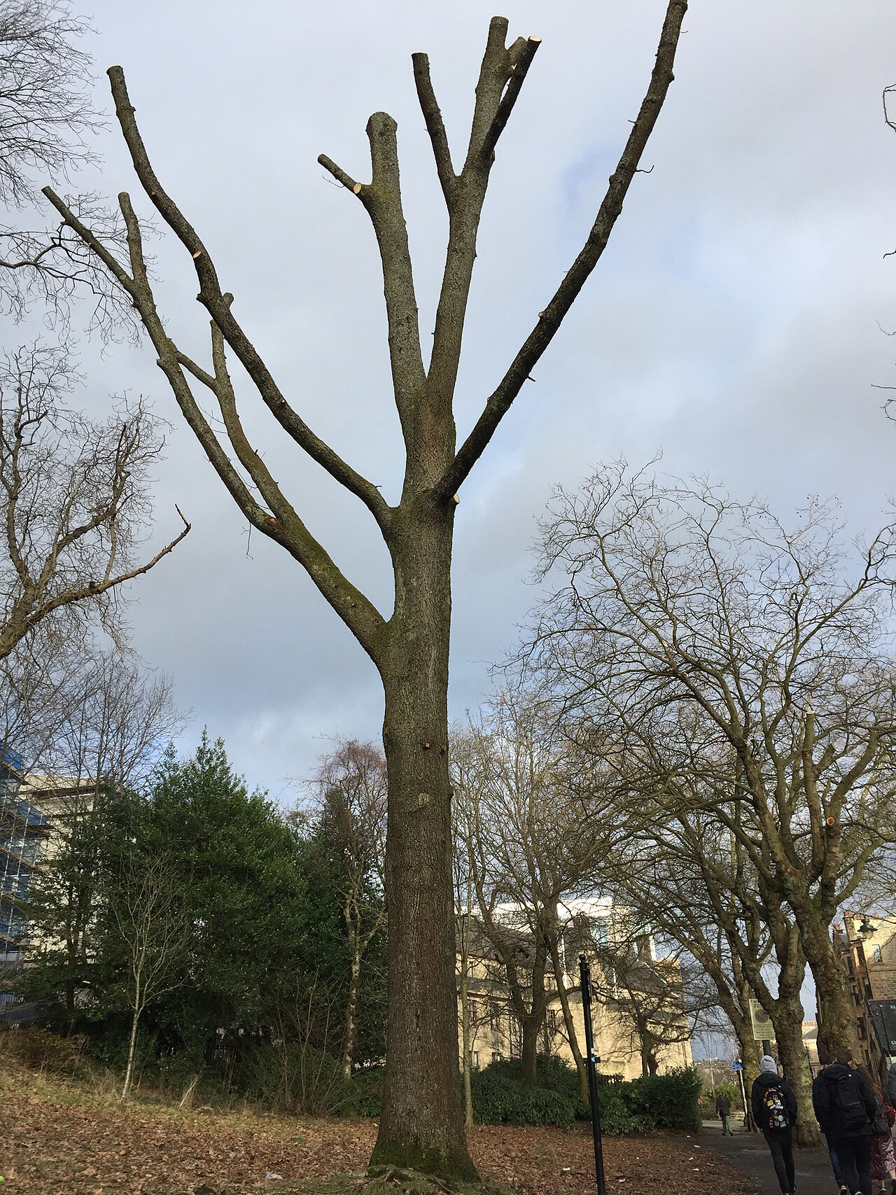 Suffrage OakHungarian Oak · 931 yd