What is recorded here
Scotland's National Record of the Historic Environment records Glasgow, Queen's Cross, General as General View (period Unassigned). The official map says its point is accurate as follows: NGR given to the nearest 10m. The record does not by itself mean that the public may enter the place.
The historic-place record does not grant public access. Check current conditions and ownership before entering land or a building.
Places near here
 Glasgow, 870 Garscube Road, Queen's Cross ChurchChurch (19th Century), Church Hall (19th Century) · 37 yd
 Glasgow, Maryhill Road, Queens Cross East DevelopmentGeneral View (period Unassigned) · 55 yd
 Queen's Cross ChurchChurch, cross or graveyard · 55 yd
 Glasgow, Garscube Road, GeneralGeneral View (period Unassigned) · 111 yd
 Hamiltonhill Claypits Local Nature ReserveForest · 571 yd
 Westercommon Tower BlocksCastle, fort or tower · 674 yd
 The Glasgow Academy War MemorialMemorial · 819 yd
 Tower in the Mackintosh-designed courtyard, Queen Margaret CollegeCastle, fort or tower · 972 yd
 Peter Walker Memorial FountainHeritage place · 1156 yd
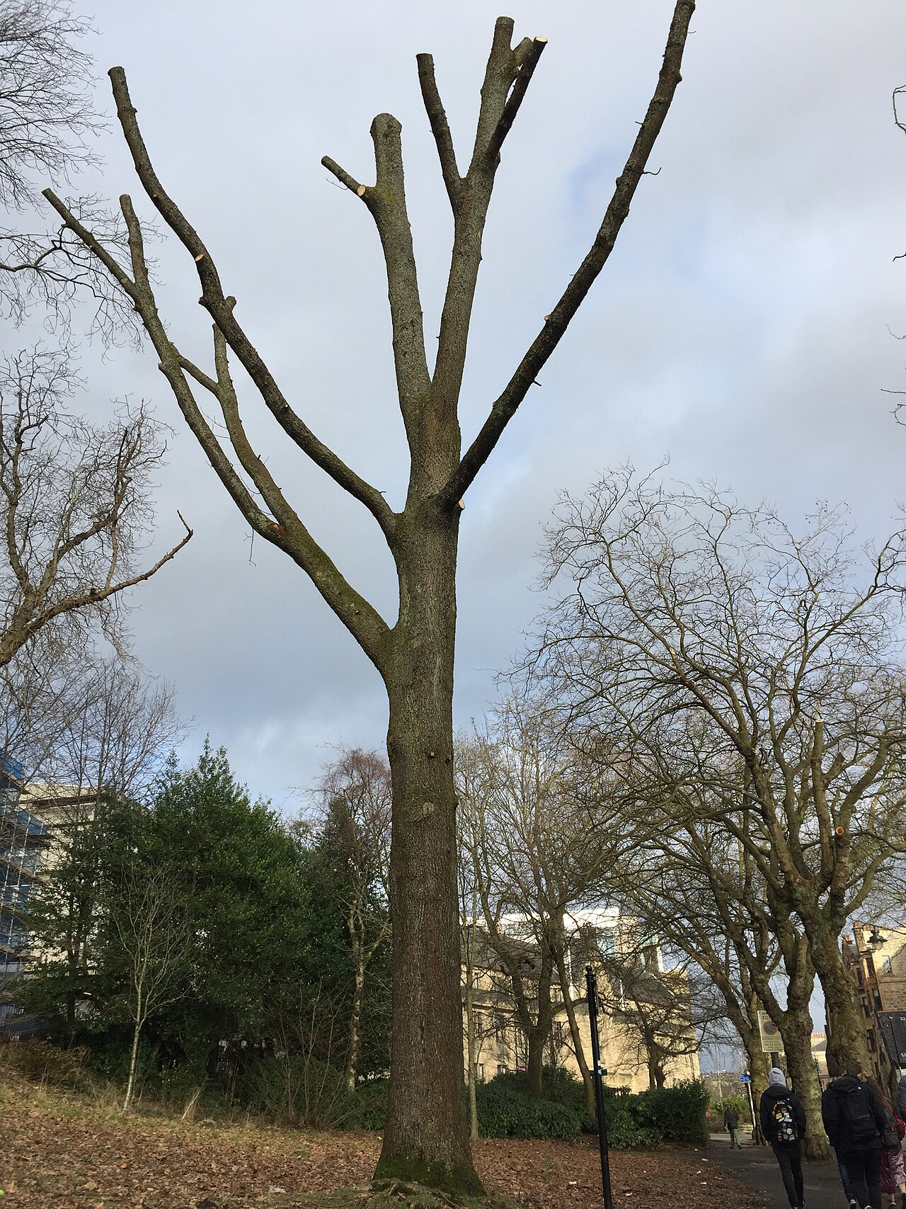 Suffrage OakHungarian Oak · 1391 yd
 Hunterian Art GalleryGallery · 1406 yd
 The Mackintosh HouseMuseum · 1424 yd