What is recorded here
Scotland's National Record of the Historic Environment records Glasgow, 125 Garriochmill Road, North Woodside Flint Mill, Lade as Lade (period Unassigned). The official map says its point is accurate as follows: NGR given to the nearest 1m. The record does not by itself mean that the public may enter the place.
The historic-place record does not grant public access. Check current conditions and ownership before entering land or a building.
Places near here
 The weir from the bridge that carries Queen Margaret Drive over the KelvinHeritage place · 16 yd
 Glasgow, Queen Margaret Road, Queen Margaret BridgeRoad Bridge (period Unassigned) · 43 yd
 Tower in the Mackintosh-designed courtyard, Queen Margaret CollegeCastle, fort or tower · 116 yd
 Peter Walker Memorial FountainHeritage place · 303 yd
 Glasgow, Hillhead, 31 La Crosse TerraceTenement (period Unassigned) · 313 yd
.jpg?width=1280) Glasgow, Kelvinside, Kelbourne Street, North Kelvin Parish ChurchHall (early 20th Century) - (early 21st Century), Mission Hall (mid 19th Century) · 346 yd
Glasgow, Kelvinside, Kelbourne Street, North Kelvin Parish ChurchHall (early 20th Century) - (early 21st Century), Mission Hall (mid 19th Century) · 346 yd Jimmy Logan memorialHeritage place · 539 yd
 Hunterian Art GalleryGallery · 761 yd
 The Mackintosh HouseMuseum · 783 yd
.jpg?width=1280) Eldon Street WoodlandsVisitor information · 877 yd
Eldon Street WoodlandsVisitor information · 877 yd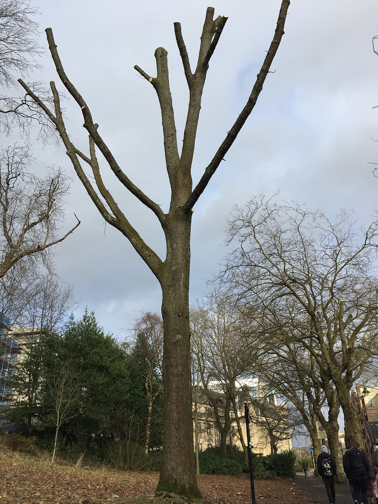 Suffrage OakHungarian Oak · 921 yd
 Tower of Glasgow University Old BuildingCastle, fort or tower · 940 yd