What is recorded here
Scotland's National Record of the Historic Environment records Glasgow, Kirklee Road, Railway Bridge as Railway Bridge (19th Century). The official map says its point is accurate as follows: NGR given to the nearest 10m. The record does not by itself mean that the public may enter the place.
The historic-place record does not grant public access. Check current conditions and ownership before entering land or a building.
Places near here
,_Glasgow_-_geograph.org.uk_-_6190786.jpg?width=1280) Glasgow, Kirklee StationRailway Station (19th Century) · 175 yd
Glasgow, Kirklee StationRailway Station (19th Century) · 175 yd.jpg?width=1280) Glasgow, Kirklee Road, Kirklee BridgeRoad Bridge (period Unassigned) · 202 yd
Glasgow, Kirklee Road, Kirklee BridgeRoad Bridge (period Unassigned) · 202 yd Jimmy Logan memorialHeritage place · 371 yd
 Peter Walker Memorial FountainHeritage place · 553 yd
.jpg?width=1280) Glasgow, Kelvinside, Kelbourne Street, North Kelvin Parish ChurchHall (early 20th Century) - (early 21st Century), Mission Hall (mid 19th Century) · 637 yd
Glasgow, Kelvinside, Kelbourne Street, North Kelvin Parish ChurchHall (early 20th Century) - (early 21st Century), Mission Hall (mid 19th Century) · 637 yd Glasgow, Great Western Road, Police Call BoxPolice Call Box (20th Century) · 676 yd
 Tower in the Mackintosh-designed courtyard, Queen Margaret CollegeCastle, fort or tower · 732 yd
 Hunterian Art GalleryGallery · 1277 yd
 The Mackintosh HouseMuseum · 1296 yd
 Gothic tower on GilmorehillCastle, fort or tower · 1478 yd
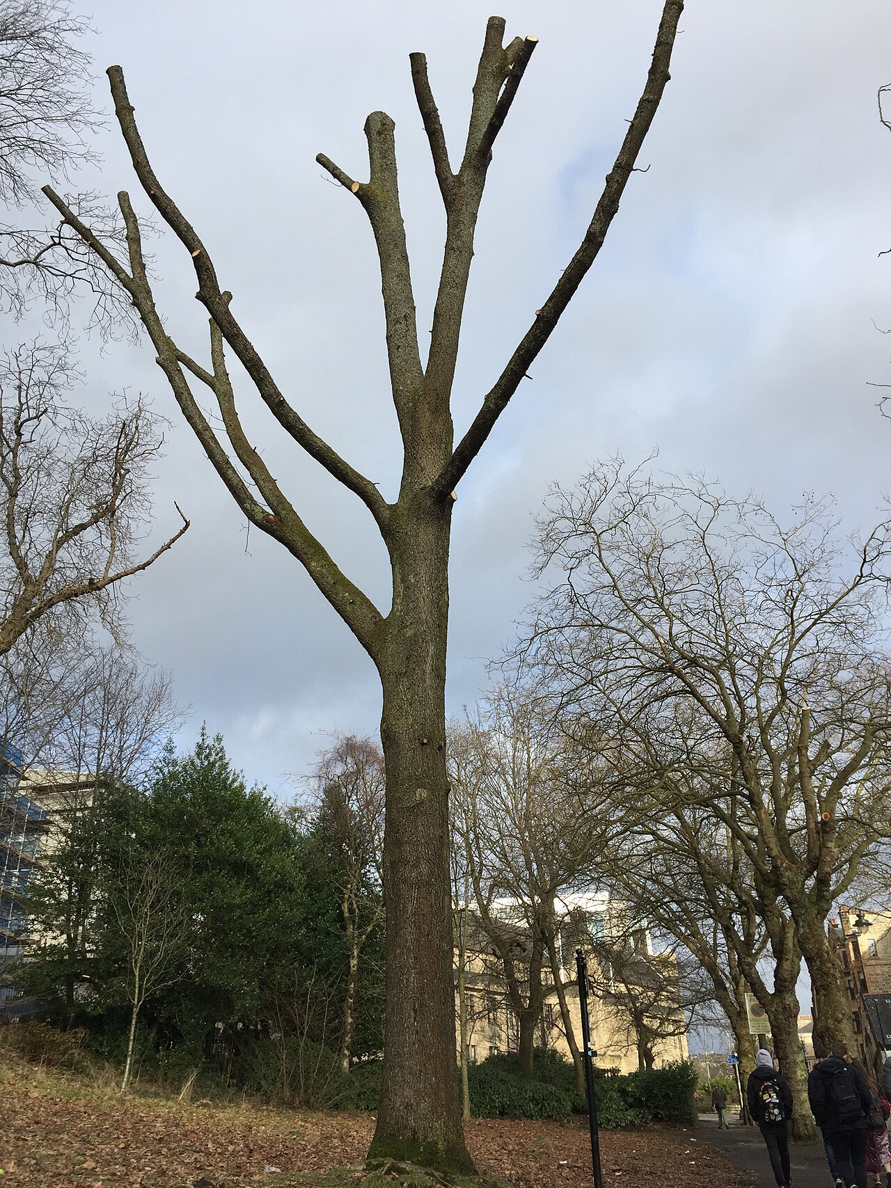 Suffrage OakHungarian Oak · 1535 yd
 Woodland and River KelvinForest or wood · 1671 yd