
What is recorded here
Scotland's National Record of the Historic Environment records Glasgow, Kelvingrove Park, South Gate Bridge as Road Bridge (period Unassigned). The official map says its point is accurate as follows: NGR given to the nearest 1m. The record does not by itself mean that the public may enter the place.
The historic-place record does not grant public access. Check current conditions and ownership before entering land or a building.
Places near here
 Glasgow, Kelvingrove Park, Kelvin Way, BridgeRoad Bridge (early 20th Century) (1919) · 7 yd
.jpg?width=1280) Glasgow, Kelvingrove Park, South Gate, 1888 Exhibition BridgeRoad Bridge (period Unassigned) · 7 yd
Glasgow, Kelvingrove Park, South Gate, 1888 Exhibition BridgeRoad Bridge (period Unassigned) · 7 yd Glasgow, Kelvingrove Park, Clayslaps MillsSluice (medieval), Steam Engine (19th Century) - (late 19th Century) (1814)-(1874), Watermill (early 16th Century) - (late 19th Century)-(1874), Weir (medieval) · 104 yd
 Mini waterfall in Kelvingrove ParkWaterfall · 163 yd
 Lord Lister StatueMemorial · 165 yd
 Kelvingrove Museum and Art Gallery, GlasgowHeritage place · 171 yd
 Full front facade of Kelvingrove Museum and Art GalleryHeritage place · 181 yd
 Lord Kelvin StatueMemorial · 195 yd
 Glasgow, Kelvingrove Park, Bandstand and AmphitheatreAmphitheatre (20th Century), Bandstand (20th Century) · 204 yd
 Woodland and River KelvinForest or wood · 260 yd
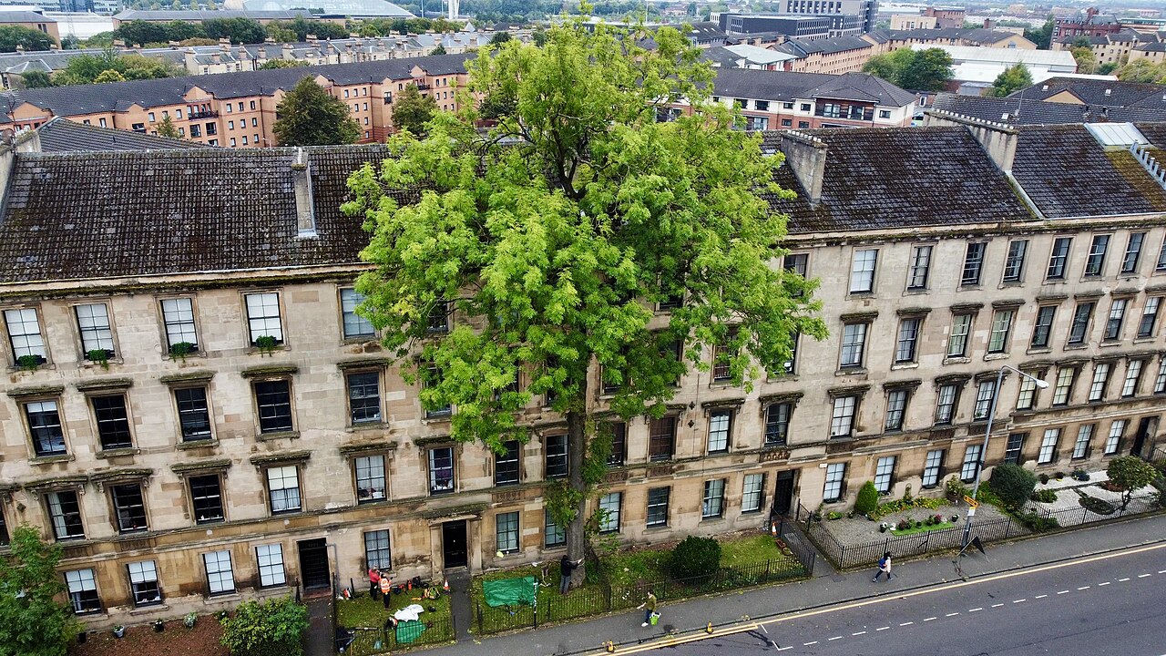 The Argyle Street Ash TreeEuropean ash · 304 yd
.jpg?width=1280) MemorialVisitor information · 363 yd
MemorialVisitor information · 363 ydOther information
Photo: Keith Edkins · CC BY-SA 2.0