,_Glasgow_-_geograph.org.uk_-_6190800.jpg)
What is recorded here
Scotland's National Record of the Historic Environment records Glasgow, Kelvinbridge Station as Railway Bridge (19th Century) - (20th Century), Railway Station (19th Century) - (20th Century). The official map says its point is accurate as follows: NGR given to the nearest 10m. The record does not by itself mean that the public may enter the place.
The historic-place record does not grant public access. Check current conditions and ownership before entering land or a building.
Places near here
 Mural, Kelvingrove Park. 5 - Glenfinnan ViaductHeritage place · 49 yd
 Glasgow, Otago Street, Janefield CottageCottage (19th Century) (1840) · 53 yd
 The Glasgow Academy War MemorialMemorial · 157 yd
.jpg?width=1280) Eldon Street WoodlandsVisitor information · 224 yd
Eldon Street WoodlandsVisitor information · 224 yd Glasgow, Kelvingrove ParkBarrage Balloon Site (second World War) · 327 yd
 Glasgow, Woodlands Road, GeneralGeneral View (period Unassigned) · 381 yd
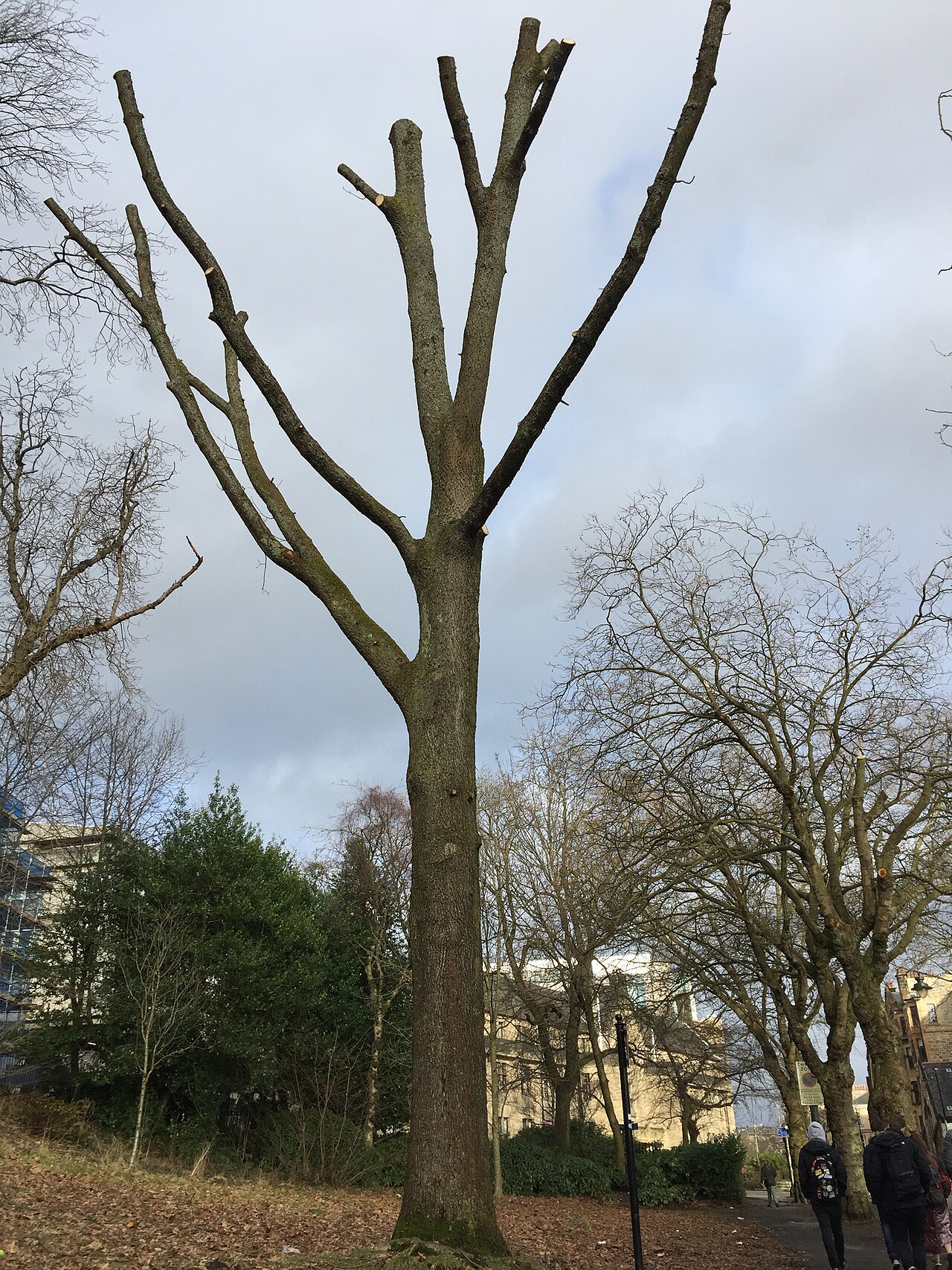 Suffrage OakHungarian Oak · 434 yd
 Roberts MemorialMemorial · 440 yd
.jpg?width=1280) Park Gate - Kelvingrove ParkVisitor information · 467 yd
Park Gate - Kelvingrove ParkVisitor information · 467 yd Hunterian Art GalleryGallery · 534 yd
 The Mackintosh HouseMuseum · 545 yd
 Tower of Glasgow University Old BuildingCastle, fort or tower · 566 yd
Other information
Photo: Nigel Thompson · CC BY-SA 2.0