What is recorded here
Scotland's National Record of the Historic Environment records Glasgow, 514-554 Maryhill Road as Tenement (19th Century). The official map says its point is accurate as follows: NGR given to the nearest 10m. The record does not by itself mean that the public may enter the place.
The historic-place record does not grant public access. Check current conditions and ownership before entering land or a building.
Places near here
 Glasgow, Maryhill Road, Queens Cross East DevelopmentGeneral View (period Unassigned) · 31 yd
 Glasgow, 870 Garscube Road, Queen's Cross ChurchChurch (19th Century), Church Hall (19th Century) · 49 yd
 Queen's Cross ChurchChurch, cross or graveyard · 69 yd
 Glasgow, Garscube Road, GeneralGeneral View (period Unassigned) · 91 yd
 Hamiltonhill Claypits Local Nature ReserveForest · 562 yd
 Westercommon Tower BlocksCastle, fort or tower · 678 yd
 The Glasgow Academy War MemorialMemorial · 811 yd
 Tower in the Mackintosh-designed courtyard, Queen Margaret CollegeCastle, fort or tower · 979 yd
 Peter Walker Memorial FountainHeritage place · 1166 yd
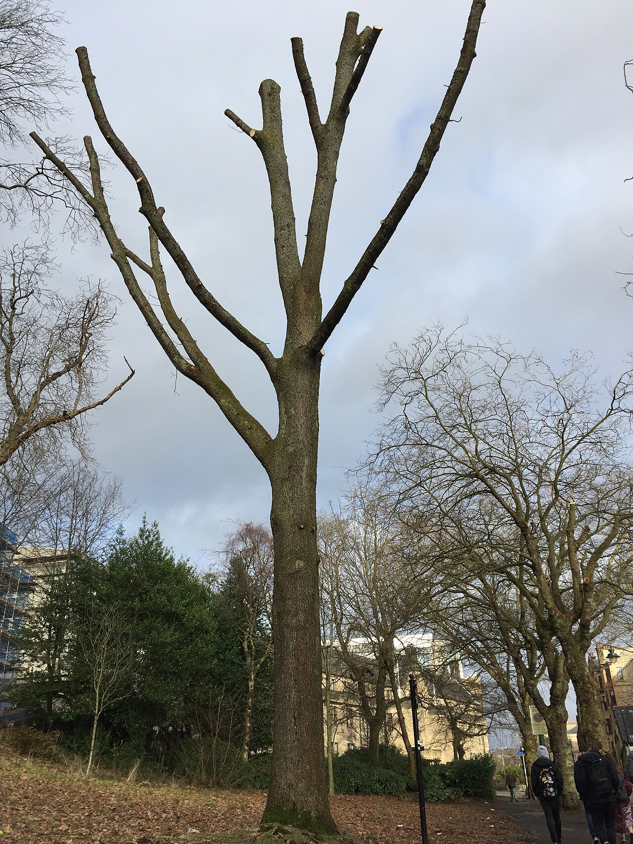 Suffrage OakHungarian Oak · 1382 yd
 Hunterian Art GalleryGallery · 1403 yd
.jpg?width=1280) MemorialVisitor information · 1420 yd
MemorialVisitor information · 1420 yd