What is recorded here
Scotland's National Record of the Historic Environment records Glasgow, Clayslaps Road as Road (period Unassigned). The official map says its point is accurate as follows: NGR given to the nearest 10m. The record does not by itself mean that the public may enter the place.
The historic-place record does not grant public access. Check current conditions and ownership before entering land or a building.
Places near here
 Glasgow, Kelvingrove ParkExhibition Site (19th Century) - (20th Century), Park (period Unassigned) · 77 yd
 Glasgow, Sauchiehall Street, Kelvinway Gate PiersGate Pier (19th Century) · 80 yd
 Kelvingrove Museum and Art GalleryHeritage place · 155 yd
 Kelvingrove Museum and Art Gallery, GlasgowHeritage place · 198 yd
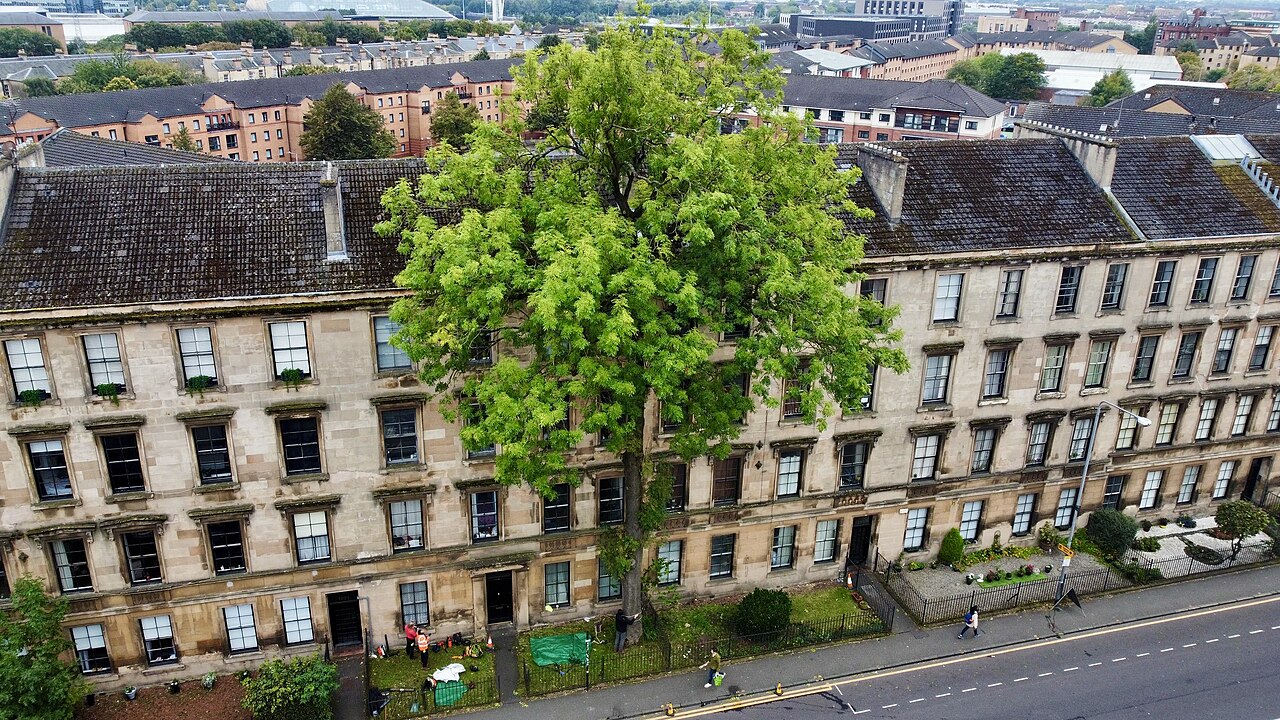 The Argyle Street Ash TreeEuropean ash · 208 yd
.jpg?width=1280) Glasgow, Yorkhill StreetCoin (roman) · 258 yd
Glasgow, Yorkhill StreetCoin (roman) · 258 yd Glasgow, Kelvingrove Park, Clayslaps MillsSluice (medieval), Steam Engine (19th Century) - (late 19th Century) (1814)-(1874), Watermill (early 16th Century) - (late 19th Century)-(1874), Weir (medieval) · 270 yd
 Mini waterfall in Kelvingrove ParkWaterfall · 300 yd
 Normandy Veterans Association memorialHeritage place · 339 yd
 Dom PolskiMemorial · 343 yd
 Woodland and River KelvinForest or wood · 351 yd
 Kelvin Hall towerCastle, fort or tower · 354 yd