
What is recorded here
Scotland's National Record of the Historic Environment records Glasgow, Breadalbane Street, United Presbyterian Church as Church (late 19th Century) - (mid 20th Century) (1873)-(1916). The official map says its point is accurate as follows: NGR given to the nearest 1m. The record does not by itself mean that the public may enter the place.
The historic-place record does not grant public access. Check current conditions and ownership before entering land or a building.
Places near here
.jpg?width=1280) Charles Rennie Mackintosh StatueMemorial · 78 yd
Charles Rennie Mackintosh StatueMemorial · 78 yd Glasgow, Houldsworth Street, GeneralGeneral View (period Unassigned) · 186 yd
 Glasgow, Houldsworth Street, St John's Episcopal ChurchChurch (19th Century) - (late 20th Century) · 191 yd
 Glasgow, Berkeley Street, Drill HallDrill Hall (19th Century) - (20th Century), Drill Hall (first World War), Gurdwara (20th Century) · 212 yd
.jpg?width=1280) Glasgow, Minerva Street, Public ConveniencePublic Convenience (period Unassigned) · 216 yd
Glasgow, Minerva Street, Public ConveniencePublic Convenience (period Unassigned) · 216 yd The Hidden Lane GalleryGallery · 421 yd
 Cameron Memorial FountainMemorial · 532 yd
_-_geograph.org.uk_-_4212903.jpg?width=1280) The Anderston FootbridgeVisitor information · 594 yd
The Anderston FootbridgeVisitor information · 594 yd Royal Highland FusiliersMuseum · 655 yd
 Park Parish Church TowerCastle, fort or tower · 662 yd
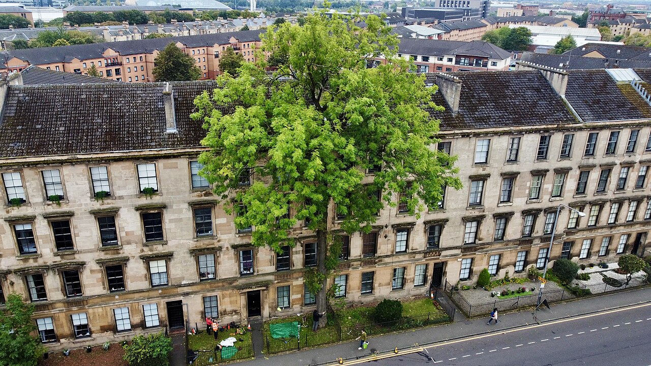 The Argyle Street Ash TreeEuropean ash · 702 yd
 Hill Street Viewpoint GarnethillViewpoint · 781 yd
Other information
Photo: Helen Robertson · CC BY-SA 2.0