What is recorded here
Glanworth stood on the west bank of the River Funshion as a recognised market town by 1299, clustering houses beneath its castle, church and priory. What began as a thriving rural borough decayed into a small village of mostly thatched homes, losing the very records that proved its ancient status. The place still carries the weight of that forgotten grandeur, preserving a boundary between medieval importance and ordinary rural life.
On W bank of River Funshion, immediately S of castle (14328), church (14399), priory (14380) and bridge (14817). Included in 1299 list of market towns in Cork (O'Brien 1993, 93-4); classed by Graham (1988, 28-9) as a 'rural-borough (state)'. Described in 1687 by Cox as 'an ancient Corporation, now a small decayed village' (Grove White 1905-25, vol. 3, 138); Lewis (1837, vol. 1, 655) states that 'no existing records afford any evidence' of its incorporate status. In 1831 contained '215 houses, mostly thatched' (ibid.). (Zajac et al. 1995, 41-6)
The above description is derived from the published 'Archaeological Inventory of County Cork. Volume 4: North Cork' (Dublin: Stationery Office, 2000). In certain instances the entries have been revised and updated in the light of recent research.
Date of upload/revision: 14 January 2009
The monument record does not grant public access. Check the route and ask the landowner before entering private land.
- What survives
- Recorded monument
Places near here
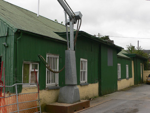 Glanworth Creamerycreamery · 44 yd
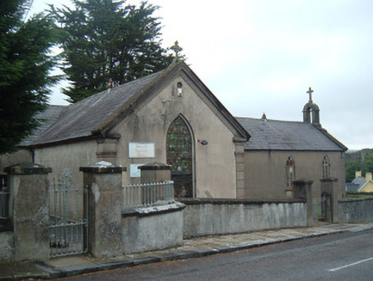 church/chapelchurch/chapel · 58 yd
 Glanworth CastleCastle · 113 yd
 Glanworth Castle (in Ruins)Castle, Anglo-Norman masonry castle · 117 yd
 Graveyard in BoherashGraveyard · 223 yd
 St Dominick's WellSpring · 249 yd
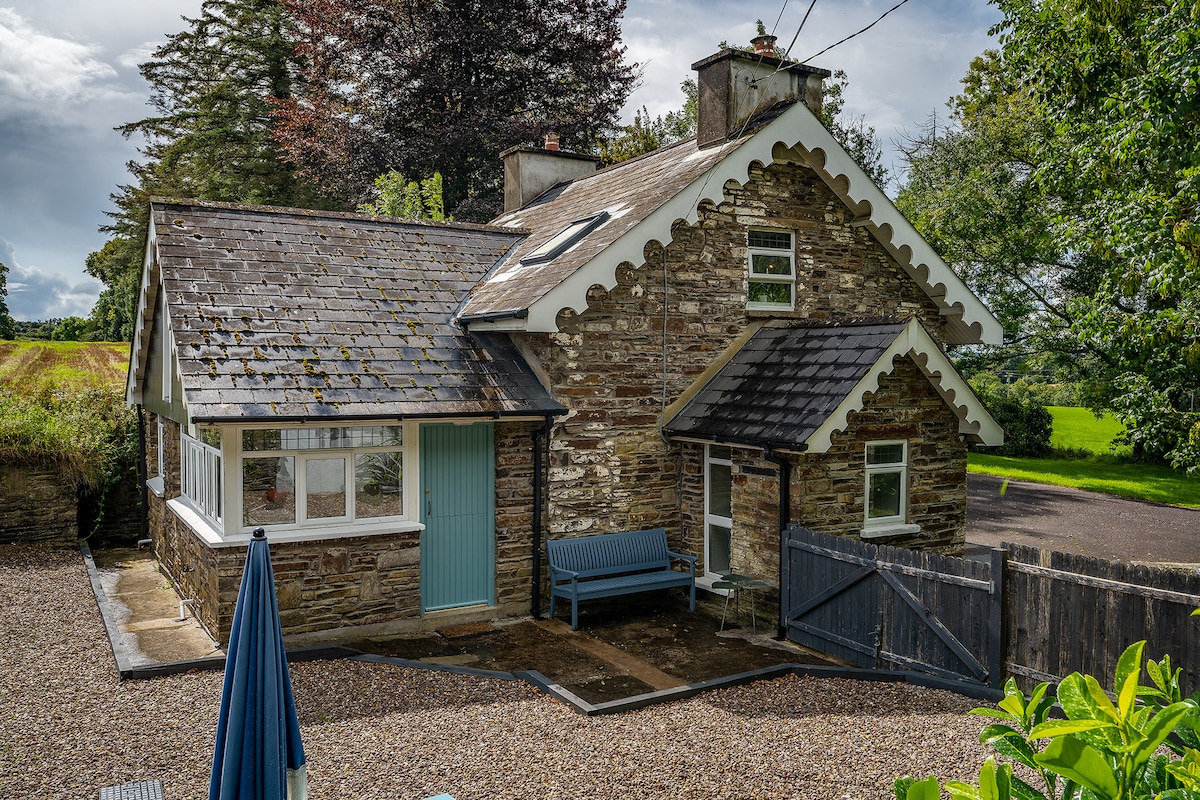 Hut site in BoherashHut site · 337 yd
 Grave Yd (Site of)Graveyard · 401 yd
 Blackwater (Avondhu) WayWalking route · 3.9 mi
 Flat cemetery in Ballyenahan NorthFlat cemetery · 4.0 mi
 Johnson's WoodForest · 4.2 mi
 Priest's WoodForest · 4.3 mi