What is recorded here
Half-buried in grass on a ridge above Lough Macnean Upper, Giants Grave keeps its chamber stones exposed while the mound swallows the rest. Five metres of gallery split into two equal rooms, missing its back wall, as if the dead walked out or the earth exhaled them. The name suggests something larger than human, yet the measurements are stubbornly small: joists of stone, a fence line, a courtstone leaning south. What is missing is not damage but permission. The grave has stopped holding its shape and become a suggestion, which is perhaps what grading does to memory.
Situated on elevated ground S of Lough Macnean Upper. The remains of a court and gallery stand at the NE end of an overgrown mound about 25m long. A courtstone adjoins the S side of the gallery and 3.5m E of this, beyond a fence, are two possible examples. The gallery, 5m long, is divided into two chambers of equal length. The northern entrance jamb survives and behind it two stones form the N side of the front chamber. The opposite side consists of a single slab. A segmenting jamb at the N marks the division between the chambers. Four stones form the N side of the rear chamber but only a single stone remains on the S side. The gallery lacks a backstone. (de Valera and Ó Nualláin 1972, 103, No. 1)
The above description is derived from the published 'Archaeological Inventory of County Cavan' (Dublin: Stationery Office, 1995). In certain instances the entries have been revised and updated in the light of recent research.
Date of upload/revision: 22 December 2008
See linked document with details from Ruaidhrí de Valera and Seán Ó Nualláin, Survey of the Megalithic Tombs of Ireland. Volume III. Counties Galway, Roscommon, Leitrim, Longford, Westmeath, Laoighis, Offaly, Kildare, Cavan. (Dublin: Stationery Office, 1972).
Neolithic passage tomb, dating to approximately 3000–2500 BCE. Its significance lies in its typical court and gallery structure, which reflects early communal burial and ritual practices in the Irish Neolithic.
The monument record does not grant public access. Check the route and ask the landowner before entering private land.
- What survives
- Recorded monument
Places near here
 Giants GraveFairy fort / stone ringfort · 343 yd
 IndicatedFairy fort / stone ringfort · 356 yd
 Giant's GraveArchaeological place · 368 yd
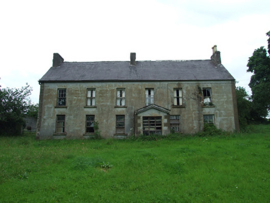 Upper Thornhill Househouse · 940 yd
 Port IslandCastle, Anglo-Norman masonry castle · 1292 yd
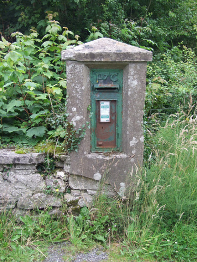 post boxpost box · 1318 yd
 Tuam IslandIslet · 1601 yd
 Rosscorkey IslandIsland · 1.1 mi
 Lough MacNean WalkWalking route · 1.4 mi
 BarranMountain / peak · 1.6 mi
 CorrevanMountain / peak · 1.8 mi
 Teampull RuisínHeritage attraction · 2.3 mi