What is recorded here
Scotland's National Record of the Historic Environment records Gesine as Schooner (period Unassigned). The official map says its point is accurate as follows: NGR given to the nearest 100m. The record does not by itself mean that the public may enter the place.
The historic-place record does not grant public access. Check current conditions and ownership before entering land or a building.
Places near here
 Westhaven BeachBeach / strand · 508 yd
 CarnoustieGun Emplacement (20th Century) · 759 yd
 West HavenFindspot (21st Century), Assemblage (14th Century) (1350)-(1700), Coin(s) (14th Century) (1350)-(1700), Token (lead)(14th Century) · 1005 yd
 Carnoustie BeachBeach / strand · 1026 yd
 Panbride HouseCountry House (19th Century) · 1035 yd
 Carnoustie, Station Road, Signal BoxSignal Box (19th Century) - (20th Century) · 1208 yd
 Battle of Barrybattle · 1323 yd
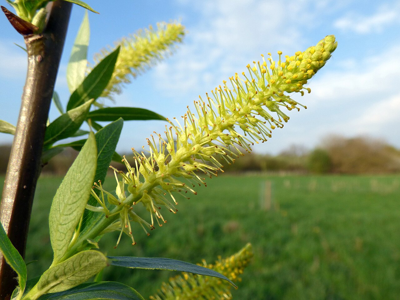 Dibble TreeCricket-bat willow · 1668 yd
 The Dibble TreeVisitor information · 1682 yd
 Carnoustie War MemorialMemorial · 1682 yd
 Good Intent: Gaa Sand, Outer Tay Estuary, North SeaCraft (19th Century) · 2.7 mi
 Panmure CastleCastle (medieval), Chapel (medieval), Garden (post Medieval)(possible), Moat (medieval), Mound(s) (period Unknown) · 2.8 mi