What is recorded here
Scotland's National Record of the Historic Environment records Gauldry, Bridie's Well as Holy Well (14th Century). The official map says its point is accurate as follows: NGR given to the nearest 10m. The record does not by itself mean that the public may enter the place.
Bridie's Well is associated with Saint Bridget (or Brigid), a widely venerated early Christian saint in Scotland and Ireland, often linked to healing and fertility. The well may have been a site of pilgrimage and ritual, with traditions of water cure and offerings reflecting both Christian and pre-Christian influences.
The historic-place record does not grant public access. Check current conditions and ownership before entering land or a building.
Places near here
 GauldryUnidentified Flint(s) (flint)(period Unassigned) · 73 yd
 Shambleton HillNatural Feature (period Unknown) · 604 yd
 Naughton HouseCountry House (18th Century) · 1126 yd
 Naughton FarmFarmhouse (period Unassigned), Farmstead (period Unassigned) · 1161 yd
 Round HillMountain / peak · 1293 yd
 The Ghoul's DenWood · 1407 yd
 Firth of TayBay · 1694 yd
 Kilmany CemeteryCemetery (20th Century) · 1.2 mi
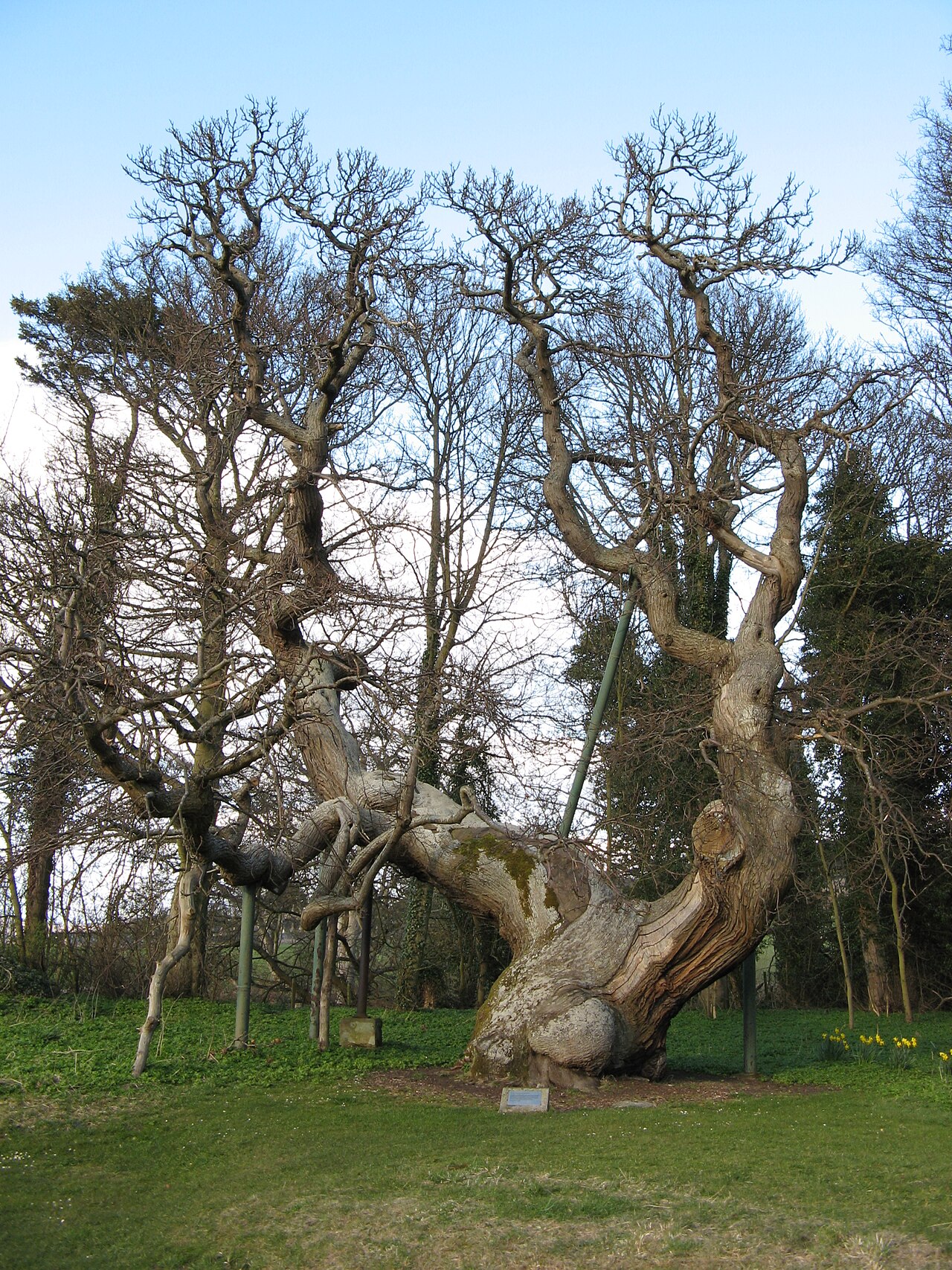 Queen Ermengarde's ChestnutSweet Chestnut · 1.3 mi
 Memorial CottagesMemorial · 1.3 mi
 BalmerinoBoat (period Unassigned) · 1.4 mi
 Wormit BayBay · 1.6 mi