What is recorded here
National Monument in state ownership No. 134. Remains of a formerly two-storied gatehouse situated at the NE angle of the modern enclosure. It consists of a square building (c. 4.9m x 5m internally) with round granite arches and antae in the north and south walls. Some of the paving of the causeway through the gatehouse is still intact and the ground slopes markedly upwards towards the interior of the enclosure. Each archway, however, is 3m in height from the ground to the soffit. A second floor is indicated by the presence of corbels in the interior. A possible section of the enclosure wall adjoins the NE corner. There is a slab of mica schist (dims. 2.3m x 1.5m) on the W wall with an incised Latin cross. (Leask 1950, 30-32; Barrow 1992, 28-30)
See attached screenshots of 3D model of gateway created by The Discovery Programme. 3D model can be accessed at the following website: https://skfb.ly/ALPu
The above description is derived from the published 'Archaeological Inventory of County Wicklow' (Dublin: Stationery Office, 1997). In certain instances the entries have been revised and updated in the light of recent research.
Date of upload: 19 December 2012
See linked document with plan taken from Robert Cochrane Historical and Descriptive Notes with Ground Plans, Elevations, Sections and Details of the Ecclesiastical Remains at Glendalough, Co. Wicklow. Extract from the Eightieth Annual Report of the Commissioners of Public Works in Ireland 1911-12. Dublin, 1925.
The monument record does not grant public access. Check the route and ask the landowner before entering private land.
- What survives
- Recorded monument
Places near here
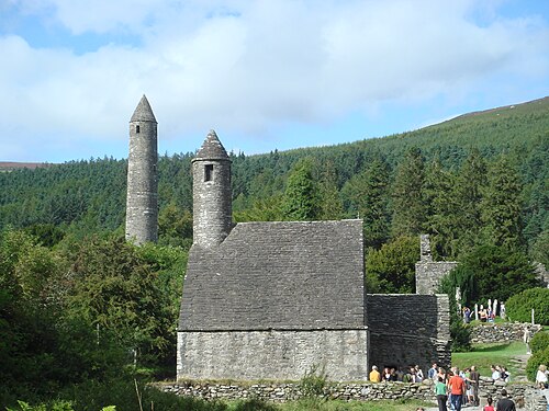 GlendaloughHeritage attraction · 36 yd
 Market Cross (site of)Cross, High cross · 55 yd
 G. Yd.Graveyard · 102 yd
 Glendalough Round TowerHeritage attraction · 113 yd
 The Priests Ch. or St. Kevins Library (in RuinsChurch · 129 yd
 St. Kierans Ch. (in Ruins)Church · 166 yd
 Poulanass WaterfallWaterfall · 1750 yd
 Native Woodland Trust: Paddock Hill ReserveWood · 2.1 mi
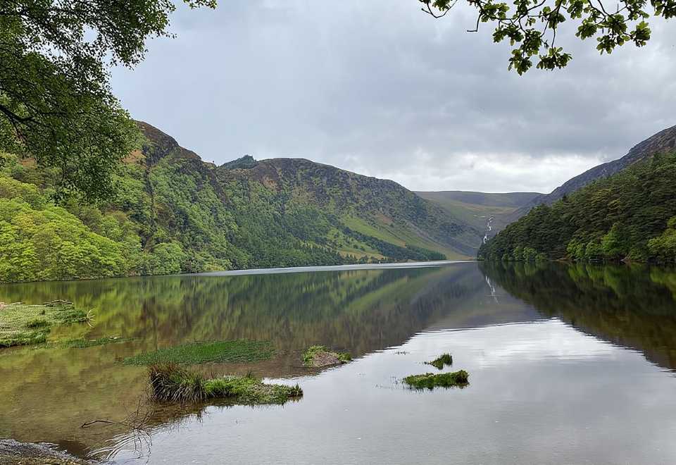 Glendalough CragsCliff · 2.5 mi
 MullacorMountain / peak · 2.7 mi
 CamaderryMountain / peak · 2.7 mi
 Shay Elliott memorialMemorial · 2.9 mi