What is recorded here
One gallaun still stands in boggy pasture on the Iveragh Peninsula, though earlier maps marked two stones at that place. The surviving slab is broad, low and slightly hunched, rising about a metre and a half from marsh on a north-facing slope. It may have been a boundary marker, a memorial, a waypoint or part of a ritual pair, but the loss of its companion has erased the shape of that intention. What remains is a quiet puzzle: a stone large enough to see, thin enough to doubt, set where human hands once believed the land needed witnessing.
In marsh on N-facing slope. Two stones shown on O.S. maps; one remains. Irregular stone (H 1.1m; 1.3m x 0.6m) aligned ENE-WSW.
The above description is derived from the published 'Archaeological Inventory of County Cork. Volume 1: West Cork' (Dublin: Stationery Office, 1992). In certain instances the entries have been revised and updated in the light of recent research.
Date of upload/revision: 14 January 2009
Likely dating to the Bronze Age, this standing stone may have had ceremonial or territorial significance. No specific folklore or detailed use is recorded for this site.
The monument record does not grant public access. Check the route and ask the landowner before entering private land.
- What survives
- Recorded monument
Places near here
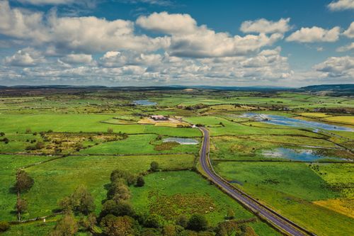 Fulacht fia in Shanacrane EastFulacht fia · 914 yd
 Fulacht fia in Tooreen (carberry East, Western Division)Fulacht fia · 1363 yd
 Coolmountain Schoolschool · 1.1 mi
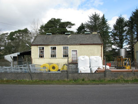 Togher Creamerycreamery · 1.1 mi
 Togher CastleCastle, tower house · 1.5 mi
 Shehy MoreMountain / peak · 1.8 mi
 Gortnahoughtee Mass RockNamed rock · 2.3 mi
 Mount ProspectMountain / peak · 2.3 mi
 Funmanway Adventure LandHeritage attraction · 3.8 mi
 Castle (Site of)Castle, Anglo-Norman masonry castle · 5.0 mi
 Dunmanway Heritage CentreVisitor information · 5.0 mi
 Graveyard in Dunmanway NorthGraveyard · 5.0 mi