What is recorded here
Gallauns is a pair of standing stones on a southern spur of Kilkeaveragh mountain in County Kerry, though only one broad slab remains today. The surviving stone stands 2.15 metres high and overlooks St Finan's Bay, while its western companion was broken up and removed in the 1960s. The lost partner may have marked a boundary, a meeting place or a forgotten ritual, but its absence leaves the site half-silent.
Located in rolling pasture on a S spur of Kilkeaveragh mountain, this site occupies a commanding position overlooking St Finan's Bay to SW. Two 'Gallauns' are indicated at this location on both editions of the OS maps, but only one of them survives. This broad slab stands 2.15m high and measures 1.4m x .35m at base; E-W. A second stone formerly lay a short distance W of this. It was broken up and removed in the 1960s (local information).
The above description is derived from A. O'Sullivan and J. Sheehan (compilers), 'The Iveragh peninsula: an archaeological survey of South Kerry'. Cork University Press (1996), no. 125. In certain instances the entries have been revised and updated in the light of recent research.
Date of upload: 28 July 2013
The monument record does not grant public access. Check the route and ask the landowner before entering private land.
- What survives
- Recorded monument
Places near here
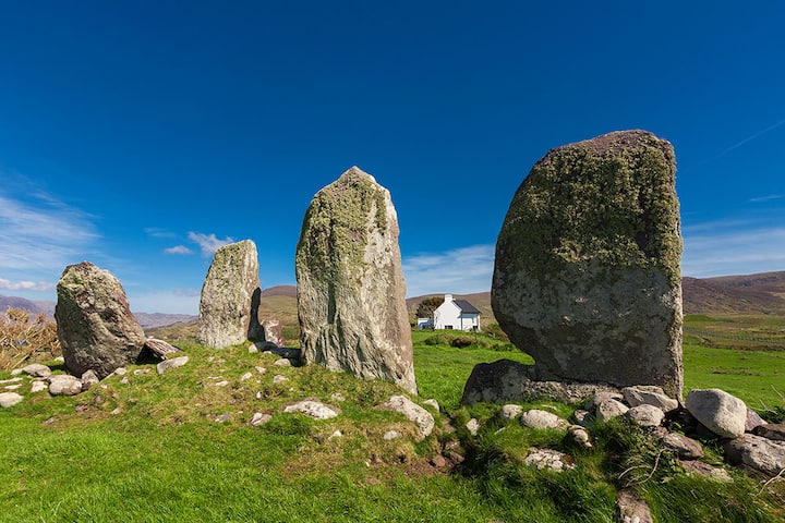 Galláin/ Standing Stones.Archaeological place · 13 yd
 Óin / Man-made underground passageArchaeological place · 168 yd
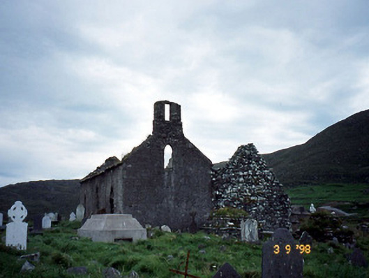 Séipéal na Cille [Killemlagh Catholic Chapel]church/chapel · 594 yd
 Tráigh na CilleBeach / strand · 759 yd
 Cuas a' PhúcaCave · 820 yd
 Carraig PhádraigCliff · 923 yd
 Cuas Dhiarmuid Uí FháilbheBay · 963 yd
 Suíomh Eaglasta/ Ecclesiastical Site.Ruins · 1066 yd
 Tráigh LeagaighBeach / strand · 1664 yd
 Cúm an EaspaigMountain / peak · 1.4 mi
 KillurlyMountain / peak · 1.5 mi
 Tobairin Holy WellSpring · 1.7 mi