What is recorded here
Gallauns is a tall rectangular slab in County Kerry, Ireland, standing 2.5m high with two low boulders aligned behind it. The stone still points northeast through rain and wind, while the smaller rocks mark a line that may have guided people, ceremonies or memory long before written records. Its sharp edges and quiet setting suggest it was made to be seen, touched and remembered rather than hidden.
The stone (KE088-001001-) at NE, similarly aligned, is a rectangular slab standing 2.5m high and measuring .8m x .16m at base. Two low boulders located 3m to the SW measure .6m x .3m and 1m x .9m; their longer axes are aligned NE-SW.
The above description is derived from A. O'Sullivan and J. Sheehan (compilers), 'The Iveragh peninsula: an archaeological survey of South Kerry'. Cork University Press (1996), no. 196. In certain instances the entries have been revised and updated in the light of recent research.
Date of upload: 28 July 2013
Likely dating to the Bronze Age, this standing stone may have functioned as a territorial marker or part of a ritual landscape. No specific folklore or detailed use is recorded for this site.
The monument record does not grant public access. Check the route and ask the landowner before entering private land.
- What survives
- Recorded monument
Places near here
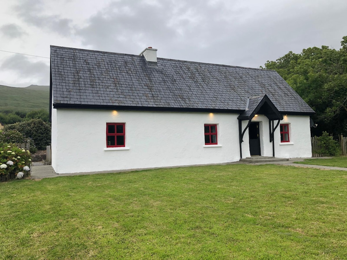 Hut site in AghatubridHut site · 1725 yd
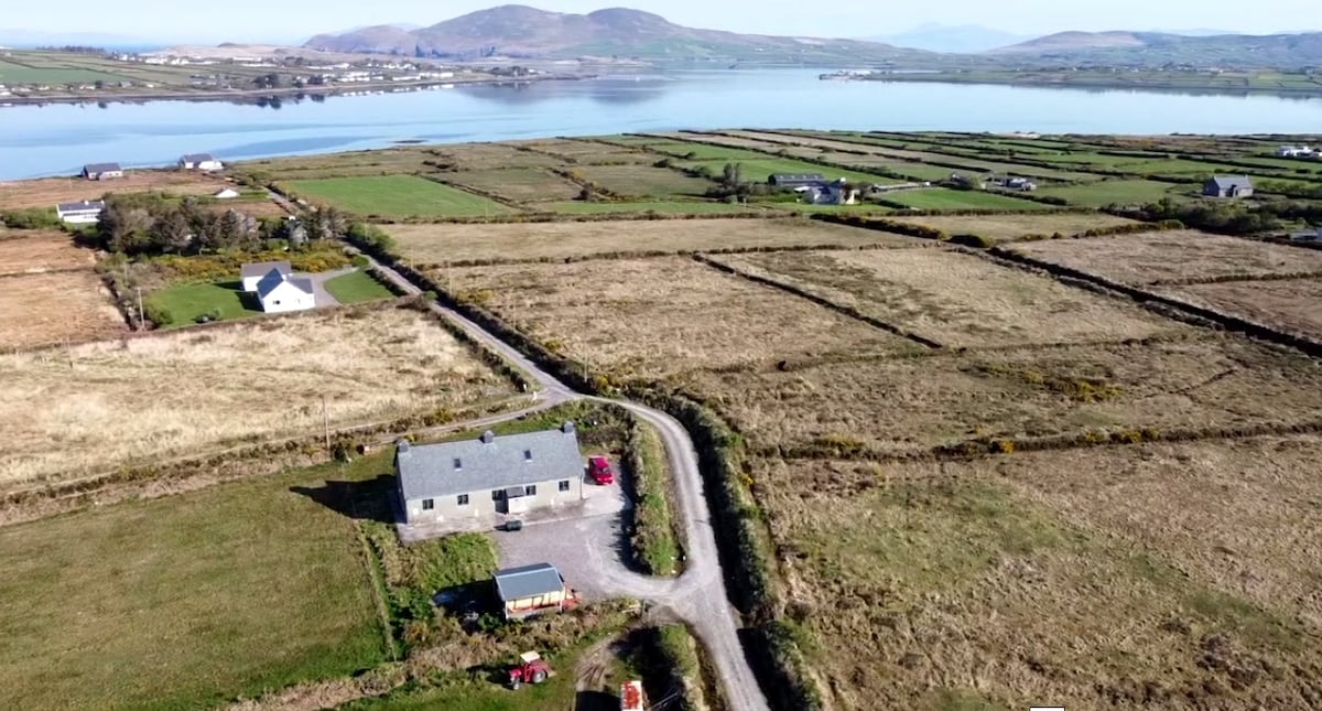 Shrine in AghatubridShrine · 1729 yd
 Mc Crehins Castle (Site of)Castle, unclassified · 1.3 mi
 Laharn Bog LoopWalking route · 1.6 mi
 BenteeMountain / peak · 2.0 mi
 FoilcloghMountain / peak · 2.1 mi
 RoadRoad, road/trackway · 2.6 mi
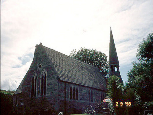 church/chapelchurch/chapel · 2.8 mi
 Fermoyle Castle (in Ruins)Castle, tower house · 3.0 mi
 Foughil IslandIslet · 3.1 mi
 Ballycarbery CastleRuins · 3.5 mi
 White Strand BeachBeach / strand · 3.6 mi