What is recorded here
Located on rocky ground at the lower end of a ridge which runs to SW from Mullaghnarakill mountain, this site is comprised of a row of three stones and an enclosure. The row, of which one stone is now prostrate, measures 4.3m long and is orientated NE-SW. The stone at the NE end of the line stands 1.95m high, and measures .9m x .25m at base; it inclines slightly to SE. The second stone is .63m further to SW, and stands 1.8m high and measures .68m x .26m at base. The prostrate stone lies 1.42m further to SW, and measures 3.15m long. Rectangular in outline, it averages .8m wide and has a maximum thickness of .6m (Ó Nualláin 1988, 238).
The above description is derived from A. O'Sullivan and J. Sheehan (compilers), 'The Iveragh peninsula: an archaeological survey of South Kerry'. Cork University Press (1996), no. 113. In certain instances the entries have been revised and updated in the light of recent research.
Date of upload: 28 July 2013
Likely dating to the Bronze Age, the standing stones and enclosure at Gallauns, Gortnagulla may have functioned as a ritual or territorial marker. Such arrangements often held ceremonial significance, possibly linked to seasonal or ancestral practices.
The monument record does not grant public access. Check the route and ask the landowner before entering private land.
- What survives
- Recorded monument
Places near here
 Church in CaherlehillanChurch · 537 yd
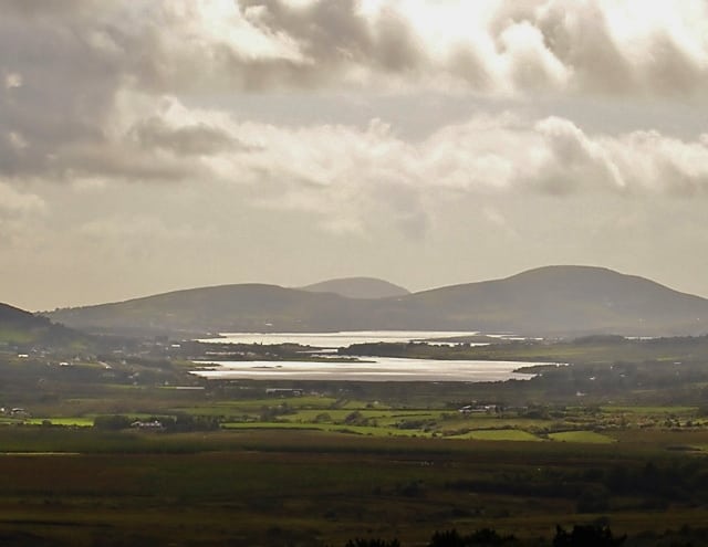 Man-made underground passage in CahernamanMan-made underground passage · 926 yd
 SheepfoldHut site · 1220 yd
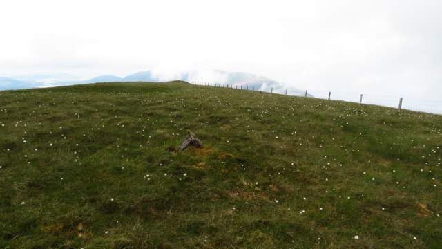 Been HillMountain / peak · 1.7 mi
 MullaghnarakillMountain / peak · 2.2 mi
 Soft Tree-fernSoft Tree-fern · 2.5 mi
 Chilean wine palmChilean wine palm · 2.6 mi
 Kells BeachBeach / strand · 2.7 mi
 Gleensk Viaductbridge · 3.1 mi
 Sheep Dog TrainingHeritage attraction · 3.2 mi
 Short Castle (Site of)Castle, unclassified · 3.4 mi
 FeaklecallyHeadland · 3.9 mi