What is recorded here
On bog-covered plateau on S slopes of Barraboy mountain and c. 100m SE of stone row (CO090-00601-). Row of three stones, aligned ENE-WSW, and 2.7m in overall length. NE stone is 0.55m L, 0.4m T and 1.05m H. Next stone, 0.55m to the SW, is 0.4m L, 0.35m T and 1.35m H. Third and tallest stone, 0.5m to the SW, is 0.6m L, 0.7m T and 1.45m H. (Ó Nualláin 1988, 234, no. 31).
The above description is derived from the published 'Archaeological Inventory of County Cork. Volume 1: West Cork' (Dublin: Stationery Office, 1992). In certain instances the entries have been revised and updated in the light of recent research.
Date of upload/revision: 14 January 2009
The monument record does not grant public access. Check the route and ask the landowner before entering private land.
- What survives
- Recorded monument
Places near here
 Field boundary in CanrooskaField boundary · 115 yd
 Field boundary in Currakeal (bear By.)Field boundary · 200 yd
 Tasmanian bluegumTasmanian bluegum · 1610 yd
 Glengarriff Eccles Hotelhotel · 1661 yd
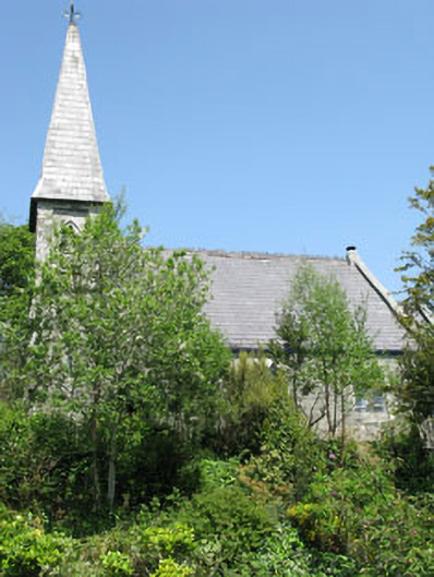 The Old Church Caféchurch/chapel · 1.0 mi
 The Blue PoolHeritage attraction · 1.2 mi
 Graveyard in CappyaughnaGraveyard · 1.2 mi
 Calf IslandIslet · 1.2 mi
 Friars IslandIslet · 1.2 mi
 Lady Bantry's LookoutViewpoint · 1.4 mi
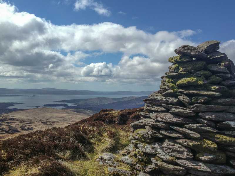 Barraboy Mountain SE TopMountain / peak · 1.4 mi
 Glengarriff WoodsWood · 1.7 mi